Goal
When information about a site is not available, it is interesting to make a survey by drone to realize a photogrammetry. The photogrammetry will allow to build a 3D model and to extract the necessary information to understand the site.
The preparation of the drone flight is essential. The flight must be able to cover the entire site from different angles. Otherwise, there would be deformations or missing information.
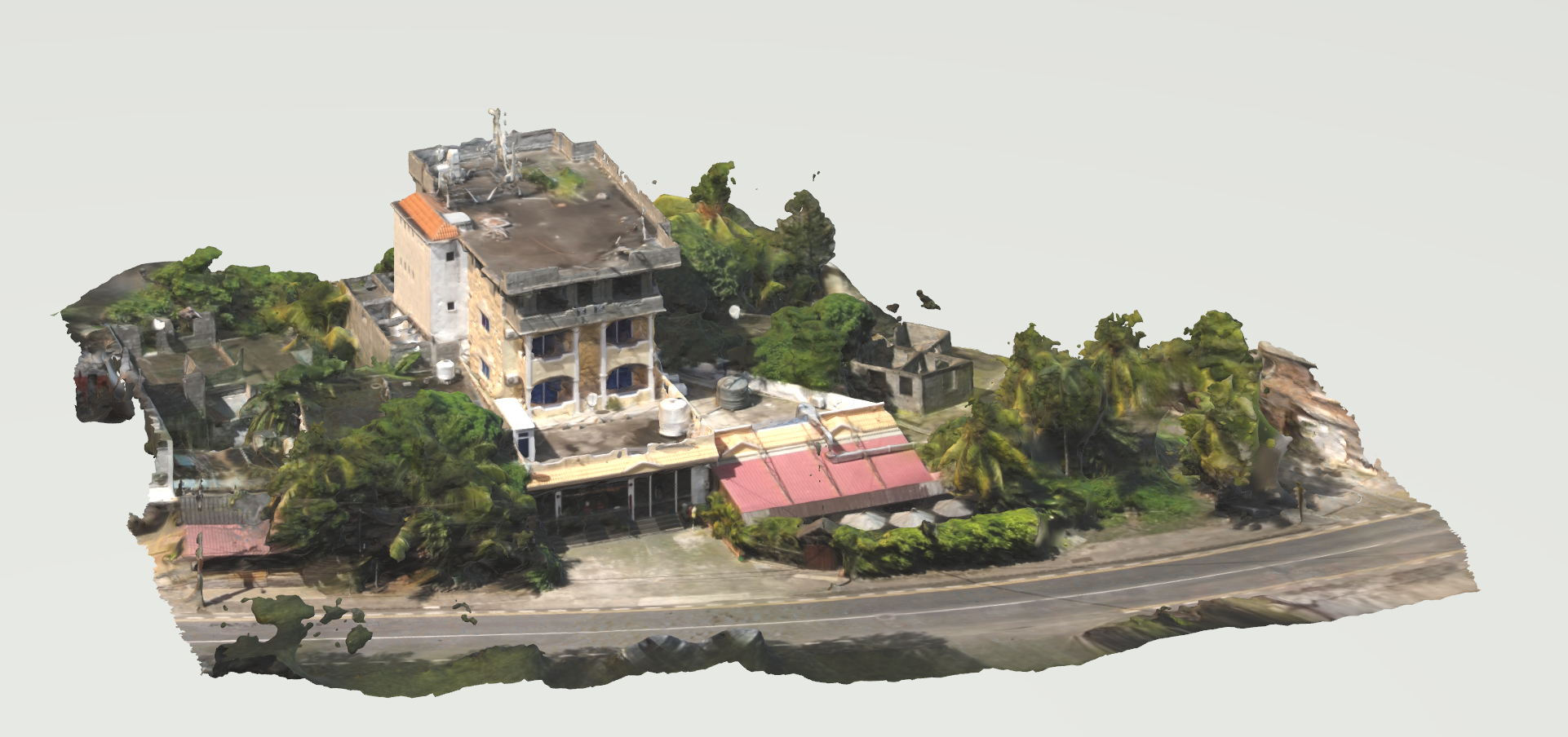
The example presented here presents the workflow for creating a 3D model from an aerial film shot with a drone and the processing of the data for further work.
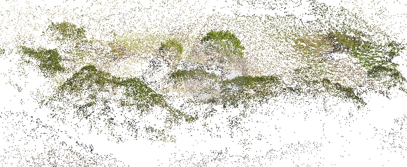
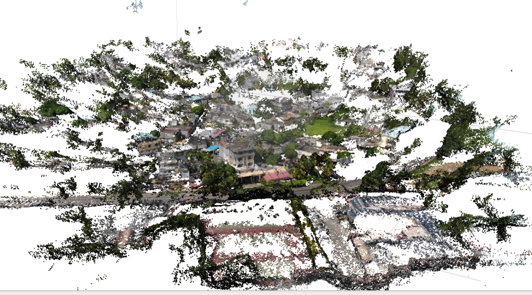
Here, the drone was forced to work in sections. Here are the different views. The work to come will be to assemble the 3D file fragments. Continuer la lecture de Protogrammetry From Drone Survey →
3d from photos
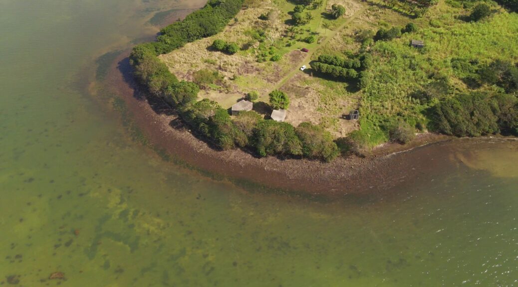
It is not always easy to obtain 3D data on some of the city’s sites. Furthermore, these sites can be extremely difficult to reach. If overflight is permitted in the area, a drone survey is an interesting solution.
In this case, we are in the Grand Bay area of Mauritius. Because of the dense urbanization and the importance of vegetation cover, surveying from the ground is nearly impossible. Continuer la lecture de Photogrammetry from Drone →
Shooting / Prise de vue
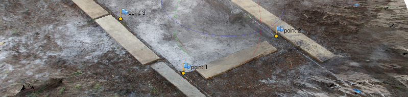
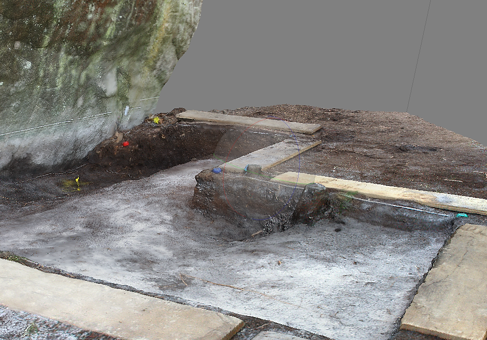
47 photographs were taken (18mm, F/13) with the flash, at heights spanning from 10 cm to 1 m from the ground. The surrounding stabilisation boards were left, to help Photoscan rebuilding the geometry. The photo series was imported into Photoscan.
47 photographies ont été prises (18mm, focale F/13) au flash à des hauteurs variant de 10 cm à 1 mètre du sol. Les planches de stabilisation pourtourantes ont été laissées afin d’aider Photoscan à remonter la géométrie. La série de photos est importée dans Photoscan. Continuer la lecture de Photoscan-photogrammetry workflow. →
Laurent Lescop – 3D Viz – Parametric Design – Immersion – AI