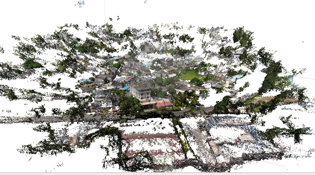
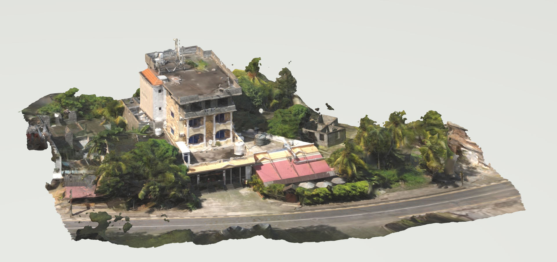
It is not always easy to obtain 3D data on some of the city’s sites. Furthermore, these sites can be extremely difficult to reach. If overflight is permitted in the area, a drone survey is an interesting solution.
In this case, we are in the Grand Bay area of Mauritius. Because of the dense urbanization and the importance of vegetation cover, surveying from the ground is nearly impossible. Continuer la lecture de Photogrammetry from Drone→