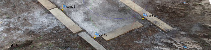
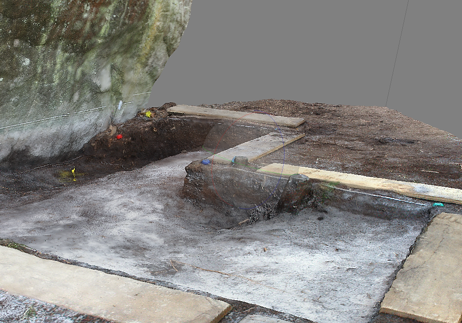
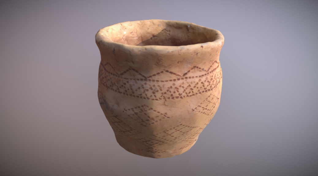
47 photographs were taken (18mm, F/13) with the flash, at heights spanning from 10 cm to 1 m from the ground. The surrounding stabilisation boards were left, to help Photoscan rebuilding the geometry. The photo series was imported into Photoscan.
47 photographies ont été prises (18mm, focale F/13) au flash à des hauteurs variant de 10 cm à 1 mètre du sol. Les planches de stabilisation pourtourantes ont été laissées afin d’aider Photoscan à remonter la géométrie. La série de photos est importée dans Photoscan.Continuer la lecture de Photoscan-photogrammetry workflow.→
Paradoxalement, les données 3D sont abondantes mais pas toujours disponibles en libre téléchargement.
Deux solutions principales s’offrent alors : utiliser la base Openstreetmap qui présente juste les volumes ou Google Earth qui ouvre au relief des terrains et plus de détails pour le bâti. Continuer la lecture de Modélisation des espaces urbains.→