L’Ombre du Géant : 4 Révélations sur l’Univers Fantasmagorique de Piranèse (et son Double Numérique)
1. Introduction : Le vertige de la pierre
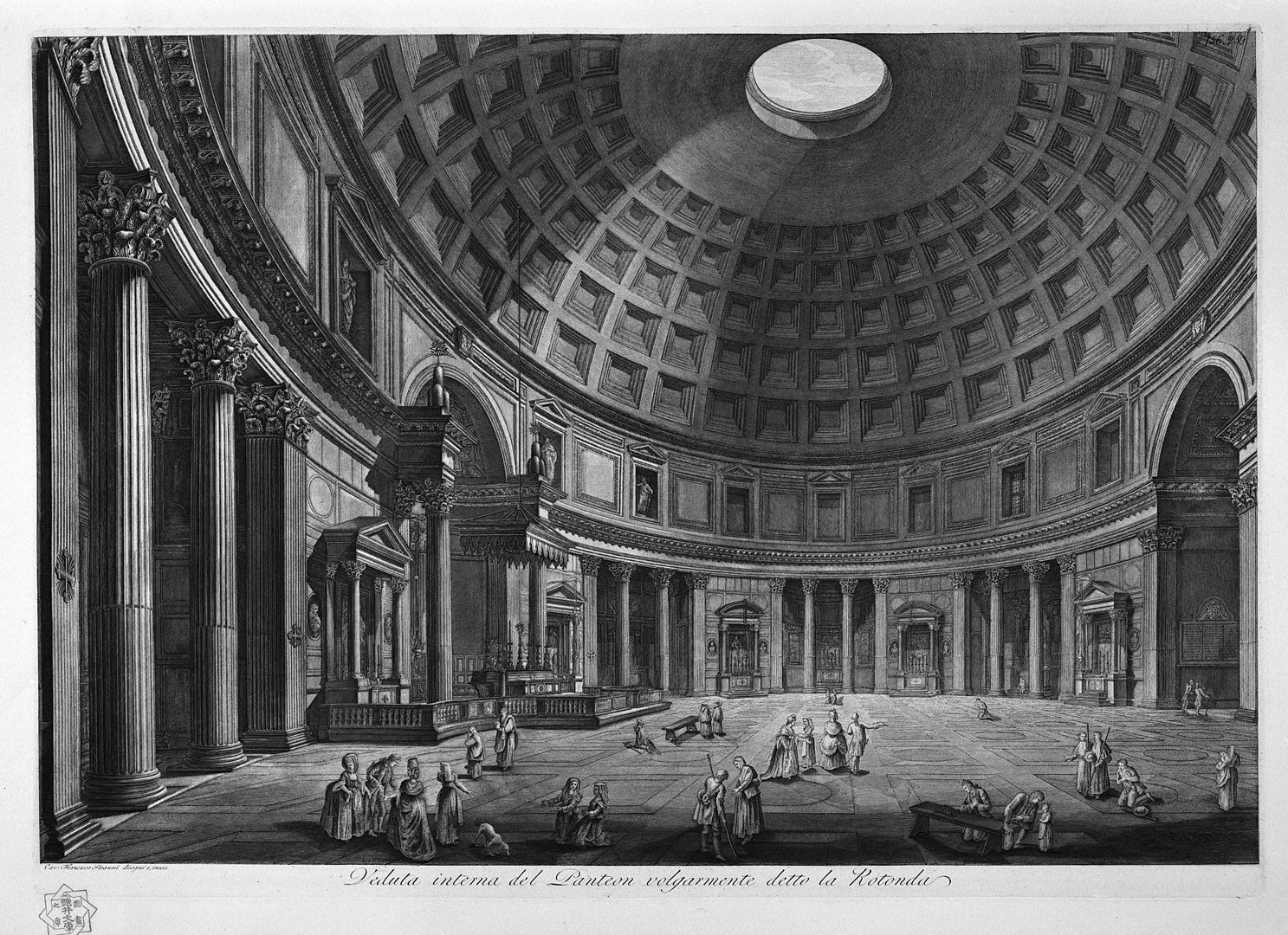
Face aux plaques de cuivre de Giovanni Battista Piranèse, le regard ne se contente pas d’observer ; il subit une véritable hallucination architecturale. Un malaise oppressant se dispute à un émerveillement sacré devant ces structures dont la démesure semble insulter les lois de la physique. Pourquoi ces ruines, figées dans une dyschronie éternelle, nous semblent-elles plus vibrantes, plus habitées que nos métropoles contemporaines ? Piranèse n’était pas un simple topographe de Rome ; il était le premier visionnaire du Sublime, érigeant des monuments qui sont autant de cénotaphes à la gloire et à la chute de l’ambition humaine.
Sources images Piranese = Wikipedia, images colorisées et interprétées en IA.

2. Le Gigantisme Oppressant : L’homme réduit à l’insignifiance
L’univers piranésien repose sur une hypertrophie monumentale où le rapport d’échelle devient une agression métaphysique. Dans la reconstitution de la Via Appia (Source Antichina_piranese.jpg), nous sommes confrontés à une forme d’horror vacui : la pierre est si dense, si saturée de détails et de symboles, qu’elle devient suffocante.
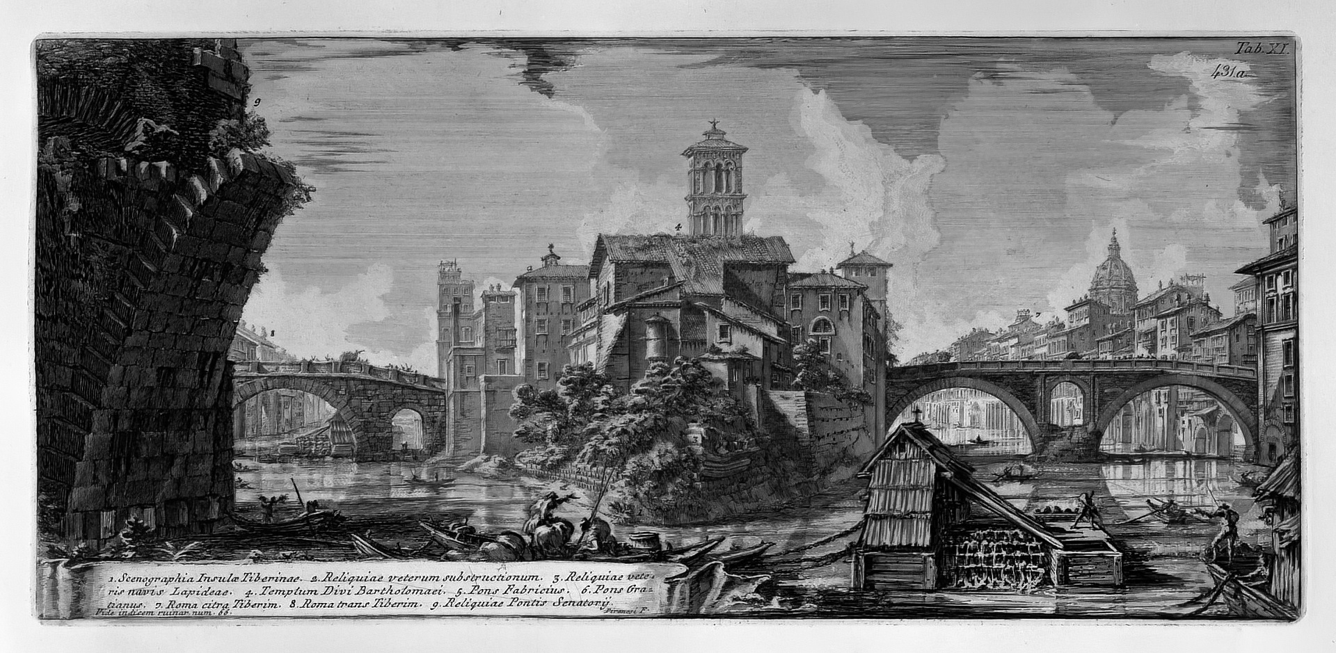
L’artiste manipule la perspective pour écraser le spectateur. Les minuscules figures humaines, ces « punti » perdus au pied d’arches cyclopéennes, ne sont pas là pour animer l’espace, mais pour souligner notre finitude. Comme l’indique la mise en scène théâtrale de la « Scenographia Insulae Tiberinae », l’espace est une scène de tragédie où l’individu est nié par l’éternité du granit. C’est ici que naît le « Sublime » : dans cette tension insoutenable entre la terreur de notre propre insignifiance et la beauté transcendante de ce qui nous survit.
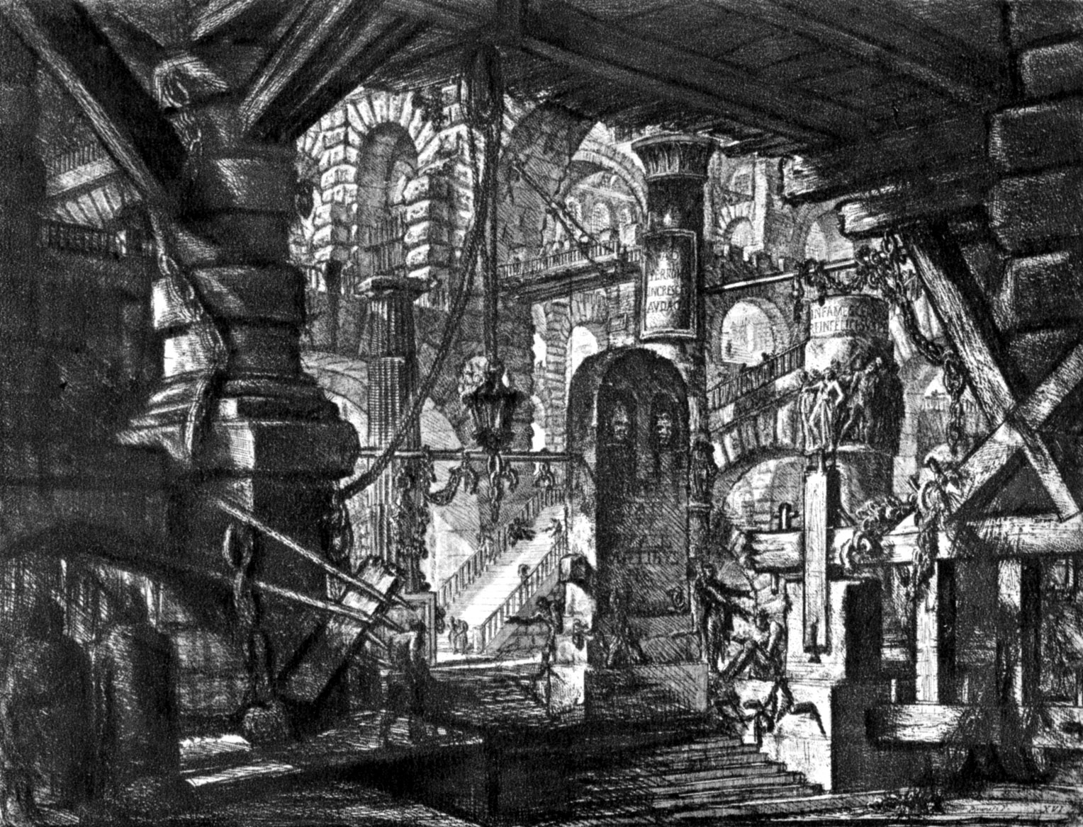
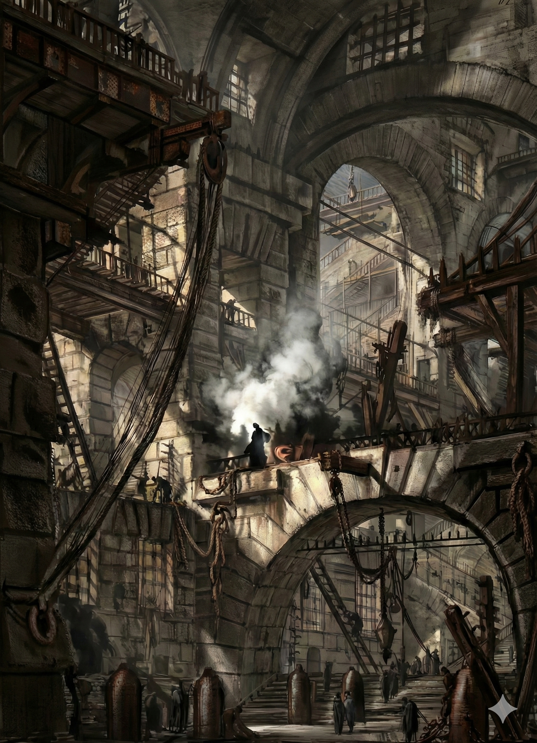
3. Les « Carceri » : Une architecture mentale de l’impossible
Les Carceri d’Invenzione ne sont pas des prisons de chair, mais des métaphores labyrinthiques de la psyché. Ces espaces (Source 960px-Piranesi01.jpg) rejettent toute logique structurelle au profit d’un dédale intérieur :
- Des chaînes massives et des poulies cyclopéennes suggérant un châtiment sans fin.
- Une régression infinie d’escaliers menant vers des paliers vides ou des abîmes de pierre.
- Des machines ambiguës, hybrides entre l’engin de chantier et l’instrument de torture, évoquant une industrie du désespoir.
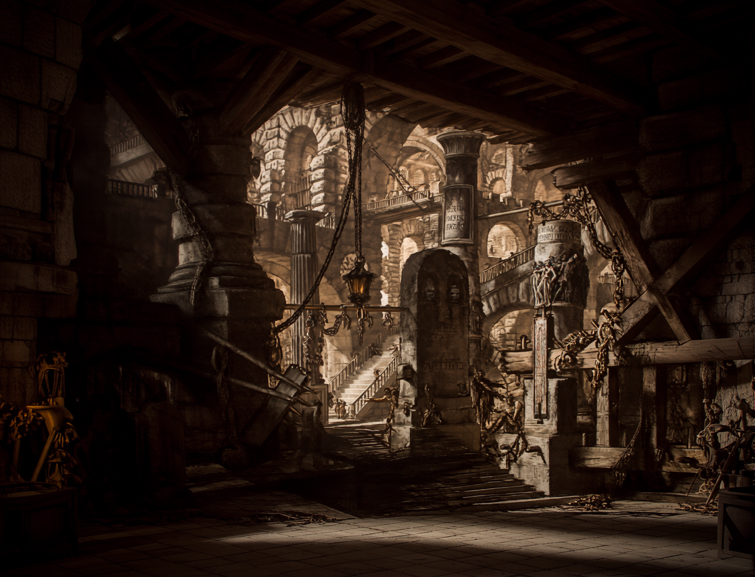
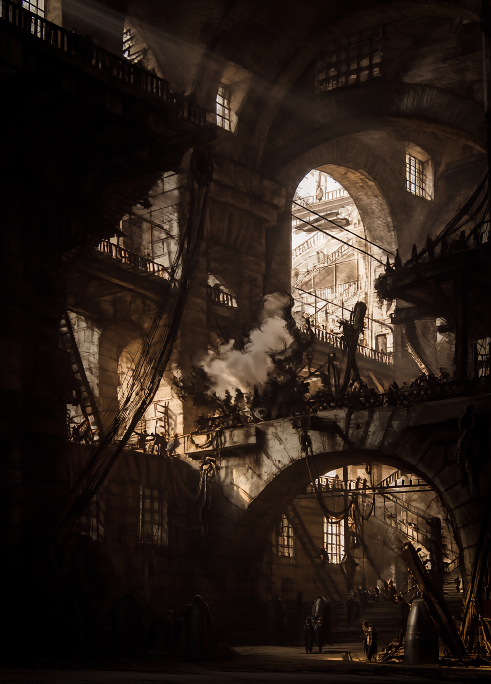
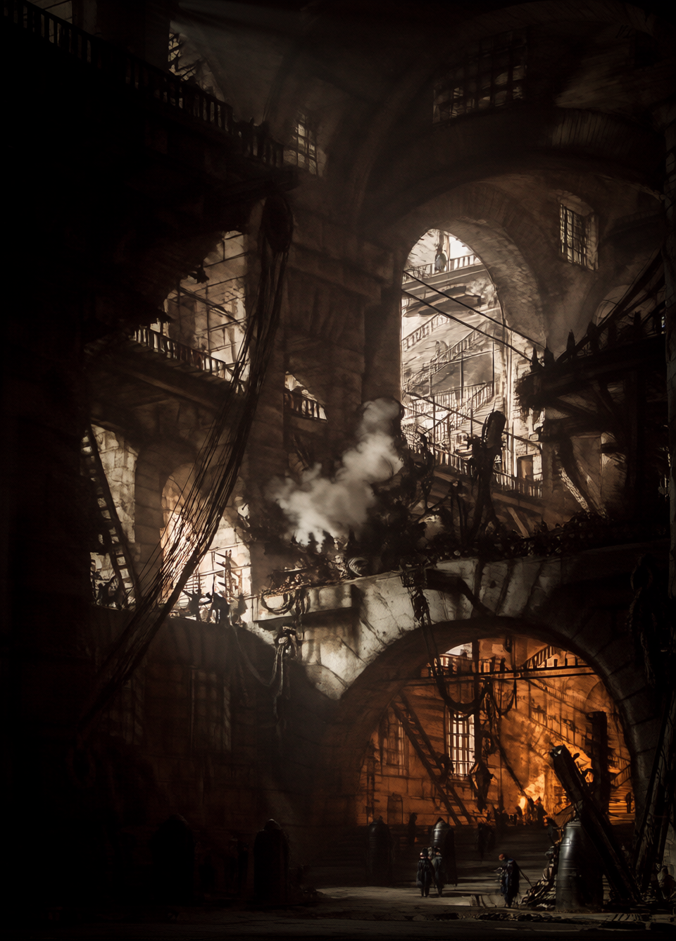
Le maniement du chiaroscuro atteint ici une intensité chirurgicale. Cependant, lorsque l’intelligence artificielle s’empare de ces ombres (Source ComfyUI_00197_.png), elle opère une métamorphose troublante : en adoucissant les fumées et les vapeurs, l’algorithme transforme la rigueur de la gravure en un rêve vaporeux. La prison devient moins une construction littérale qu’une émanation de l’inconscient, confirmant que l’esprit est un cachot bien plus vaste que n’importe quelle cellule de pierre.
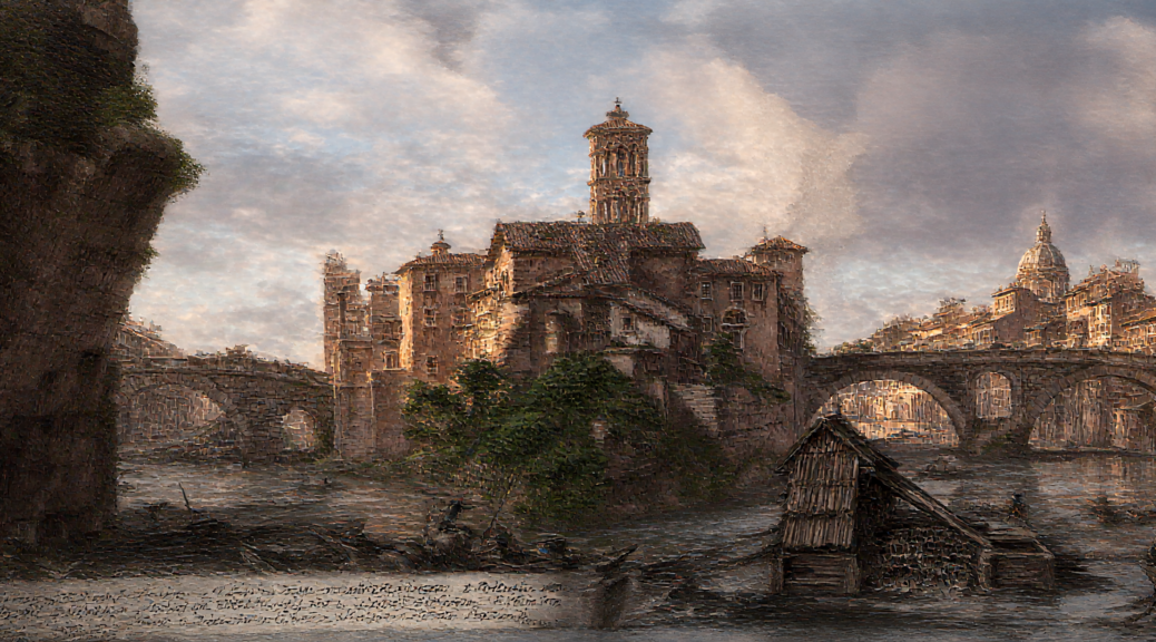
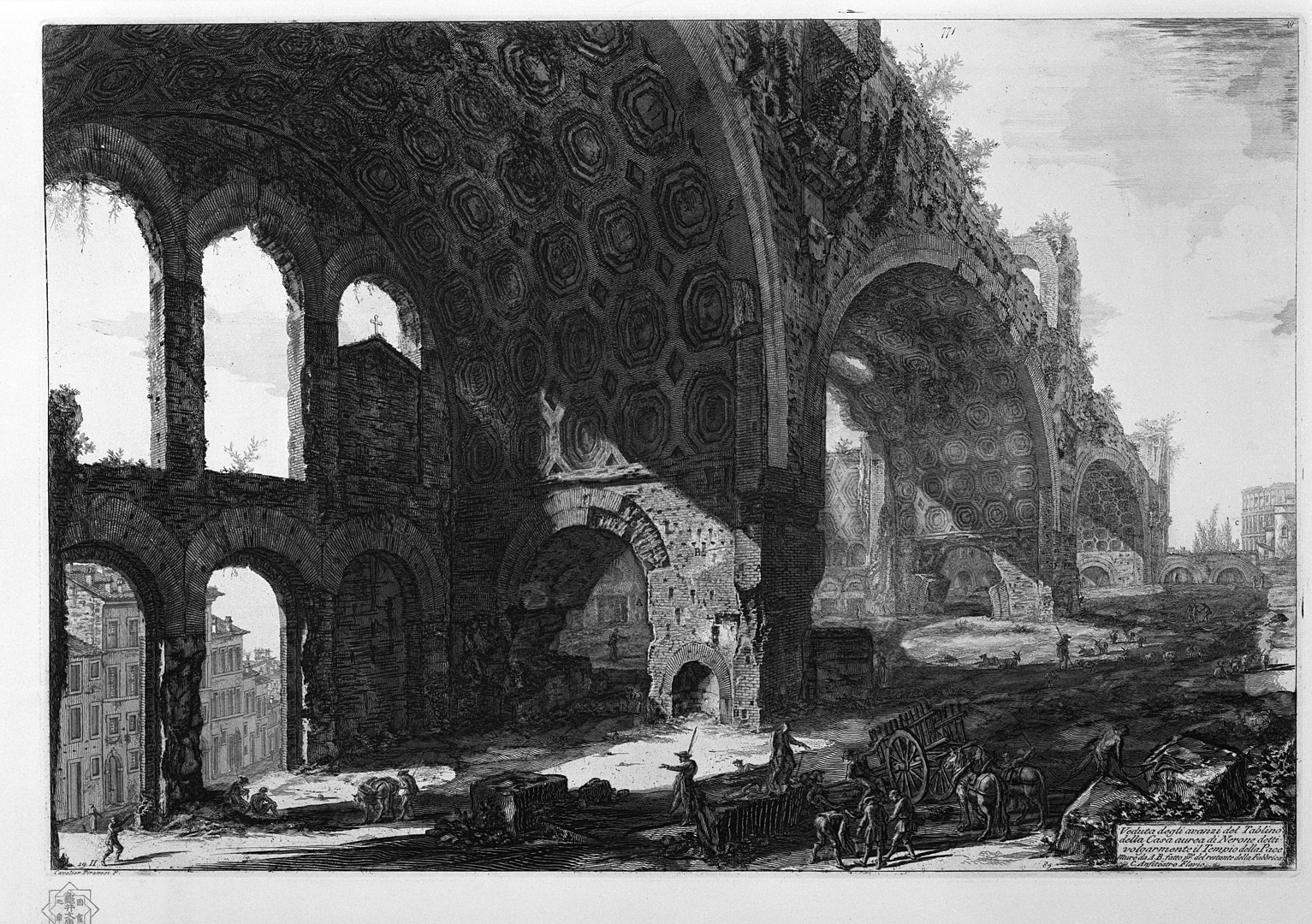
4. Ruines Vivantes : La profanation du sacré par le trivial
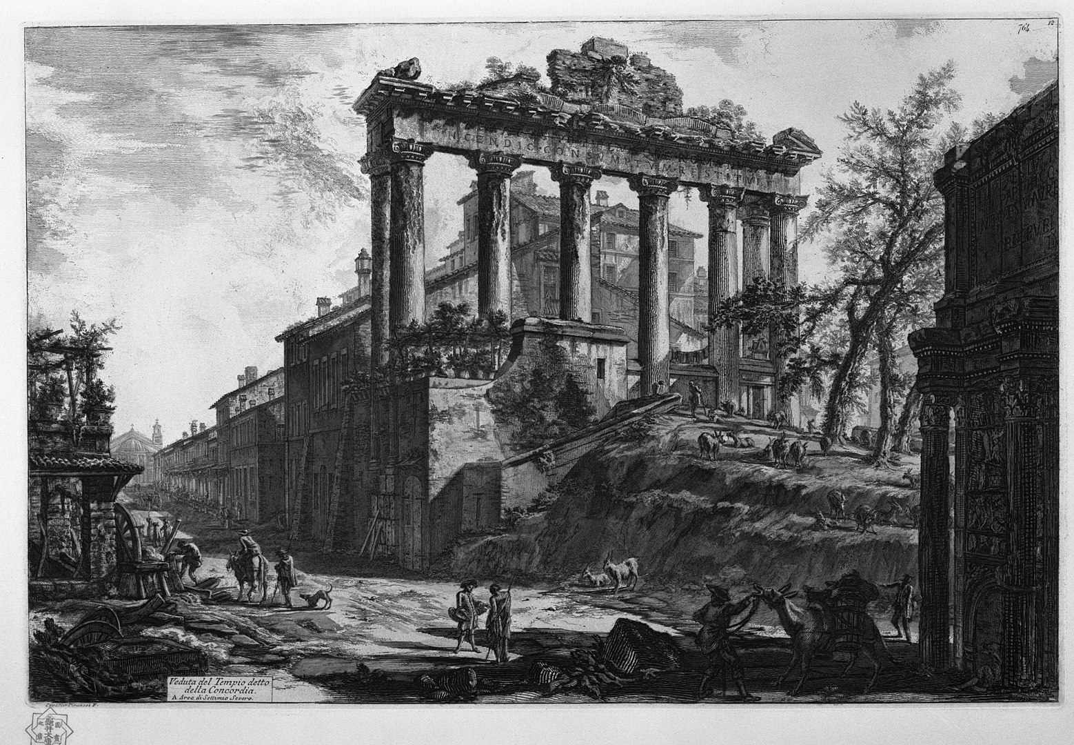
Piranèse capture le paradoxe d’une Rome où la transcendance des temples côtoie la fange du quotidien. Dans la « Veduta del Tempio detto della Concordia », le contraste est brutal. Des bêtes de somme s’abreuvent et du linge sèche à l’ombre de colonnes millénaires.
Cette vision n’est pas pittoresque ; elle est une leçon d’entropie. En montrant la vie banale s’installer dans les carcasses du glorieux, Piranèse illustre l’érosion irrémédiable de l’histoire. Les vestiges de la civilisation ne sont plus des sanctuaires, mais des abris de fortune. C’est la profanation ultime : le temps réduit les symboles de l’absolu à de simples décors pour la routine humaine, transformant la splendeur passée en une commodité dégradée.
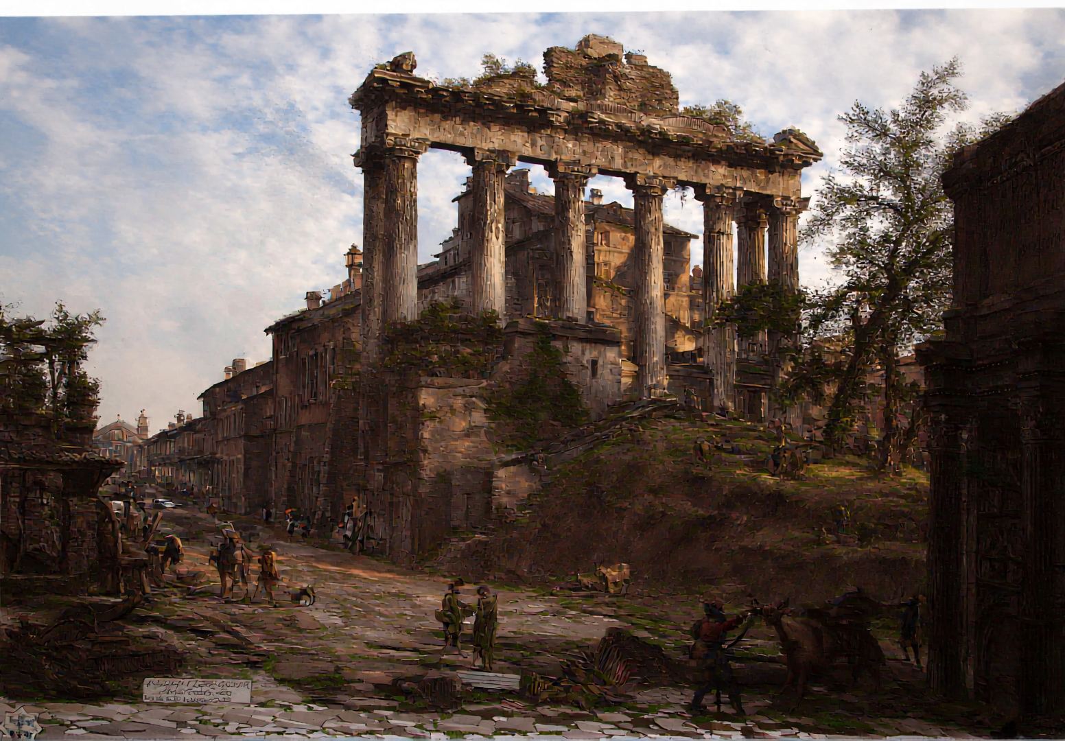
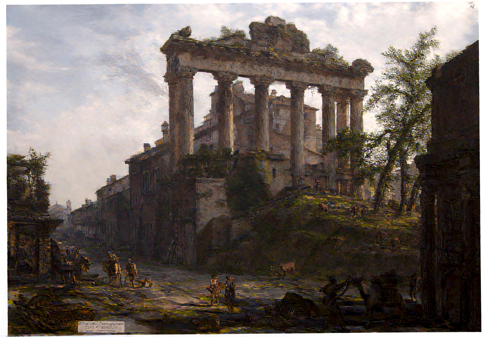

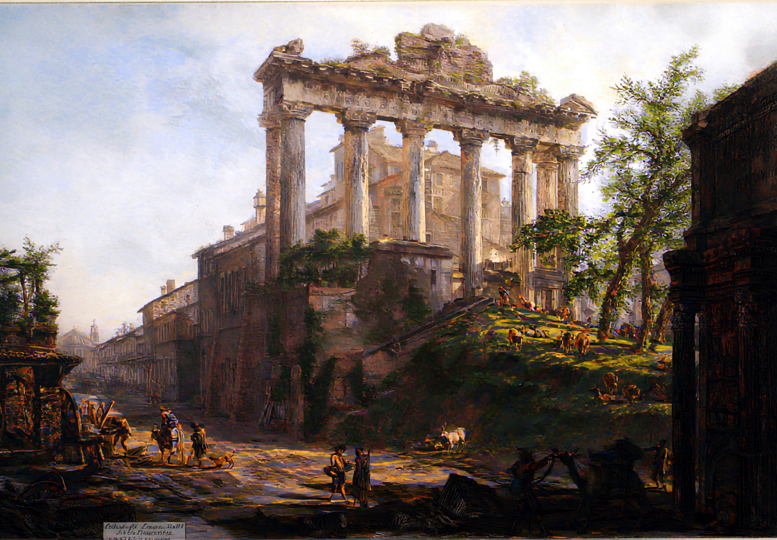
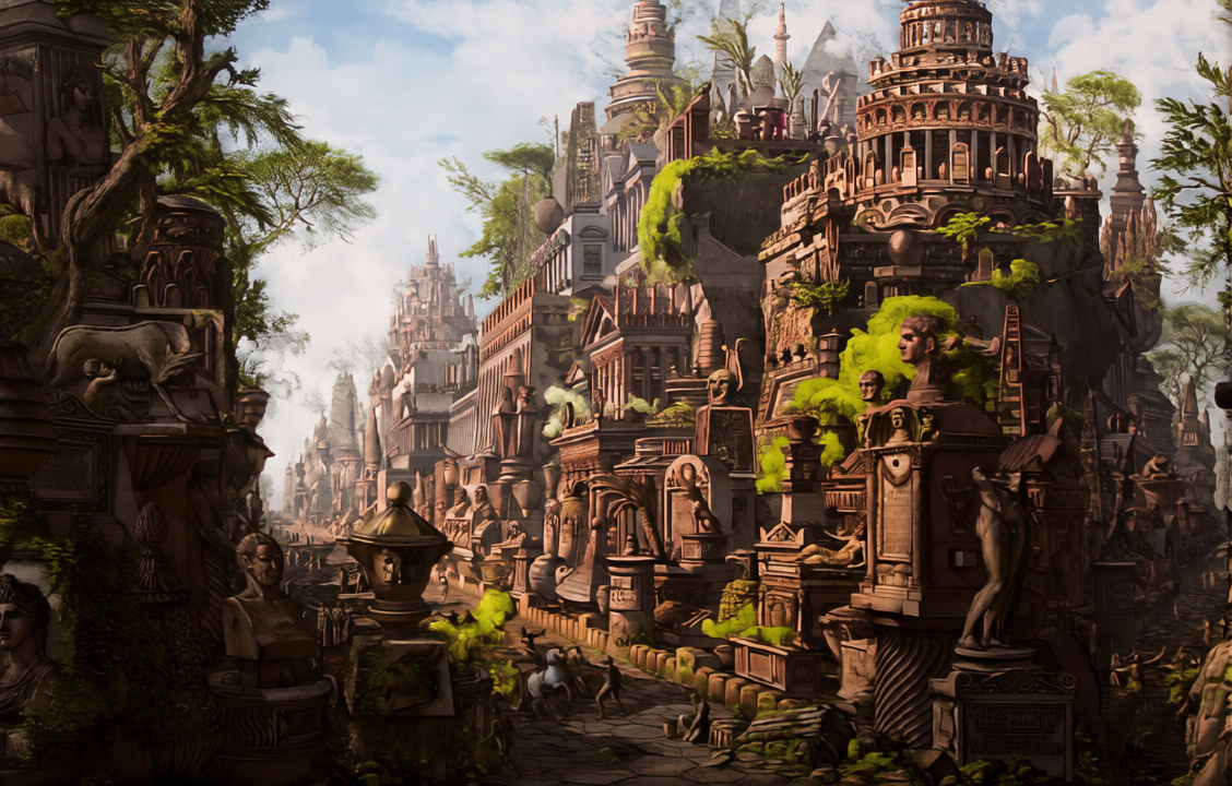
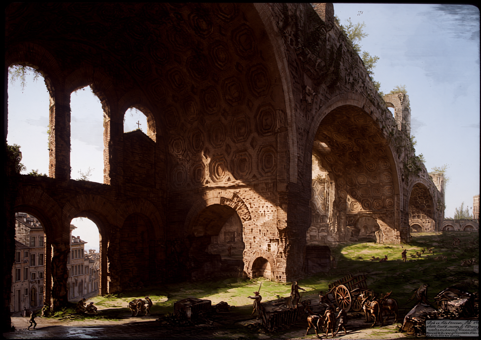
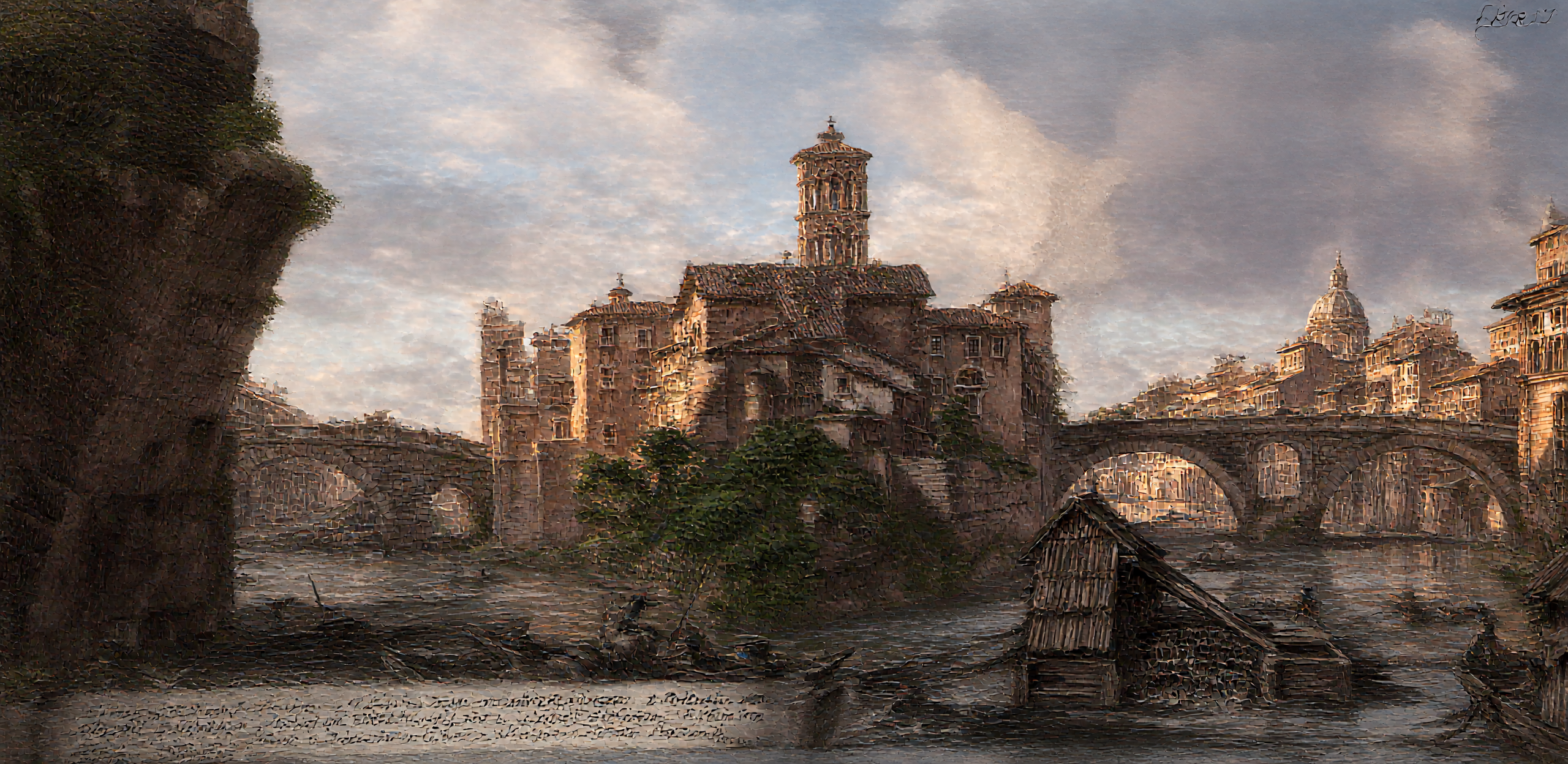
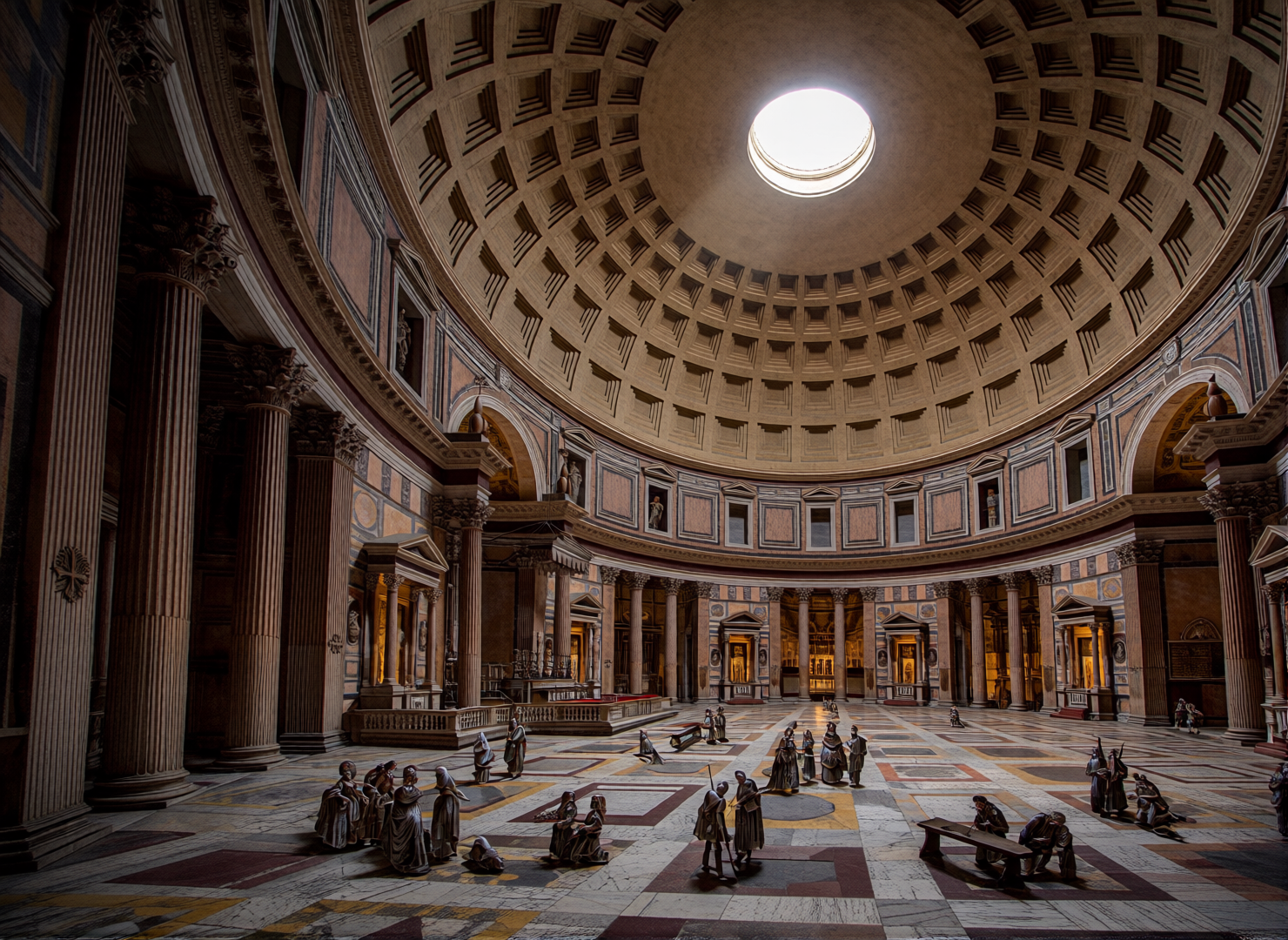
5. La Métamorphose Numérique : Spectres chromatiques et chair de pierre
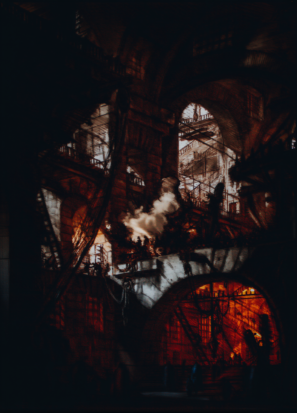
La confrontation entre la gravure originale et son double numérique (Sources ComfyUI_00180_.png, ComfyUI_00198_.png) révèle une tension esthétique majeure. Là où Piranèse impose une précision de trait presque tranchante, l’IA introduit une painterliness algorithmique qui altère la nature même de l’œuvre.
L’ajout de la couleur ne se contente pas d’« humaniser » la scène ; il engendre des fantômes chromatiques. Des lueurs rouges et vertes anachroniques, semblables à des néons spectraux, surgissent des profondeurs des prisons. La pierre, sous l’effet des algorithmes, perd sa granularité minérale pour acquérir une texture presque charnelle, parfois calcinée. Si la couleur apporte une lumière atmosphérique séduisante, elle risque de dissoudre la terreur primordiale du noir et blanc. L’IA transforme le cauchemar architectural en une fantasmagorie organique, déplaçant le curseur de la rigueur historique vers une onirisme parfois trop « joli » pour être véritablement piranésien.

6. Conclusion : Une question pour l’avenir
Piranèse fut le premier à comprendre que l’architecture la plus durable est celle de nos hantises. Aujourd’hui, alors que nous bâtissons des cités virtuelles infinies, nous ne faisons que prolonger ses Carceri. Sommes-nous en train de créer de nouvelles prisons numériques, plus vastes et plus trompeuses que celles du XVIIIe siècle ?
L’architecture de Piranèse n’est pas faite de pierre, mais de la substance même de nos rêves.