DOI:10.1109/DigitalHeritage.2013.6744825 Conference: Digital Heritage 2013, At Marseille - France, Vol: 2
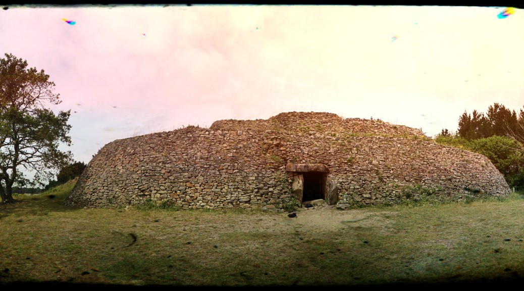
Abstract— The Tumulus of Gavrinis, which is located in Brittany, is one of the best known monuments of Neolithic art because of its extraordinary engravings. A joint team of archaeologists and architects began recording the monument using digital multiscalar technology in 2011. The scanning was complicated by the narrowness of the inner spaces, uncomfortable conditions, granulometry of the stone, and extensive vegetation coverage. Continuer la lecture de Gavrinis– Multiscalar Scan & Photogrammetry→
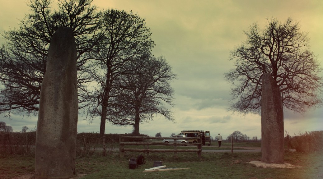
This series of images will show how to produce an interactive immersive file from photographs.
Everything has been done with Photoscan and exported to Unity through 3DsMax.
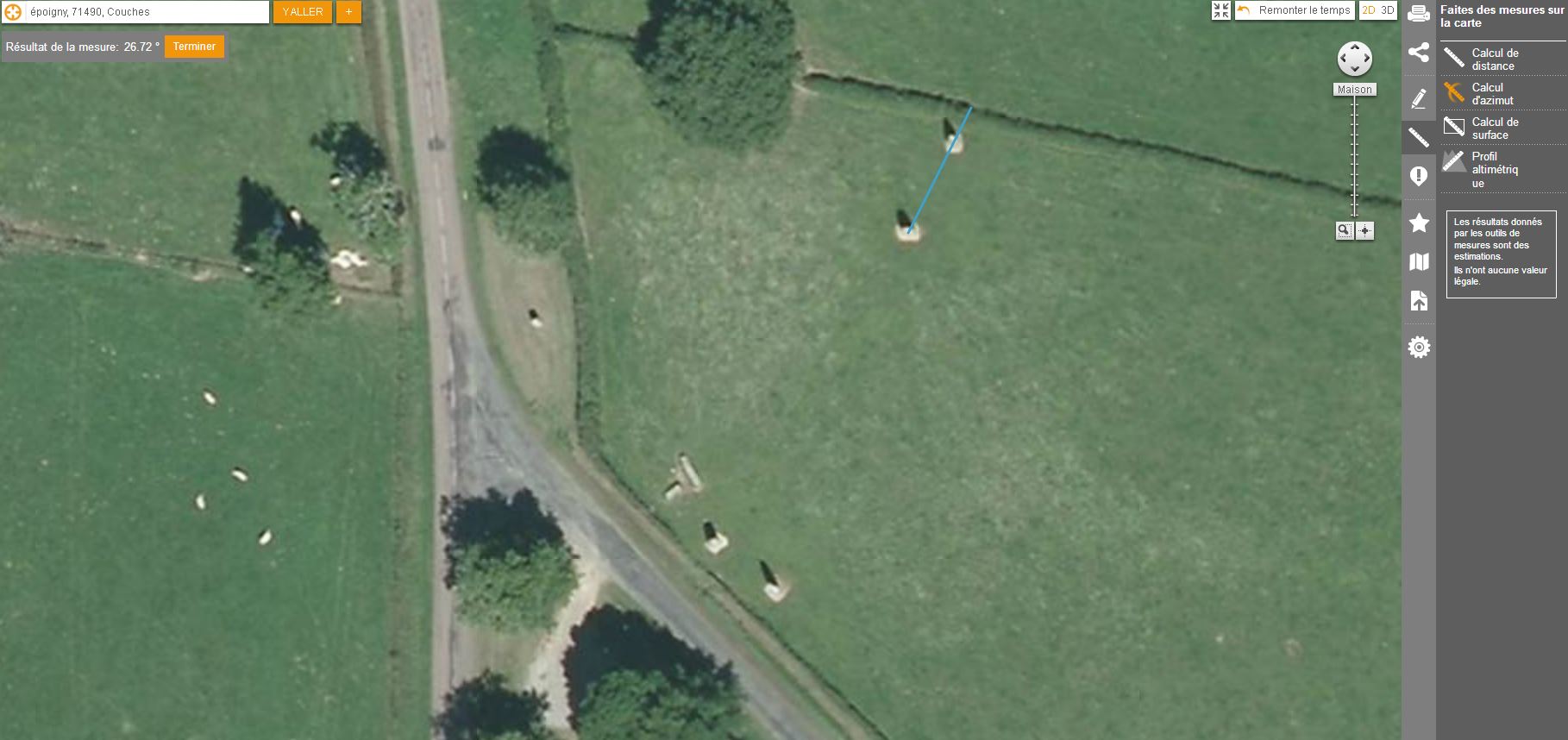
It is possible on the IGN web site to measure distances between objects. It will be necessary to check distances from the 3D model and those taken on site.
Modélisation du bloc de grès stampien dégagé par l’érosion sur le bord d’une petite vallée sèche (Vallée aux Noirs) en rive droite de l’Essonne découverte à Buthiers (Seine-et-Marne) comprenant remarquable panneau de gravures comprenant une hache à manche crossé, un motif anthropomorphe et deux motifs temporairement interprétés comme des embarcations sans équipage. (voir première description ici.