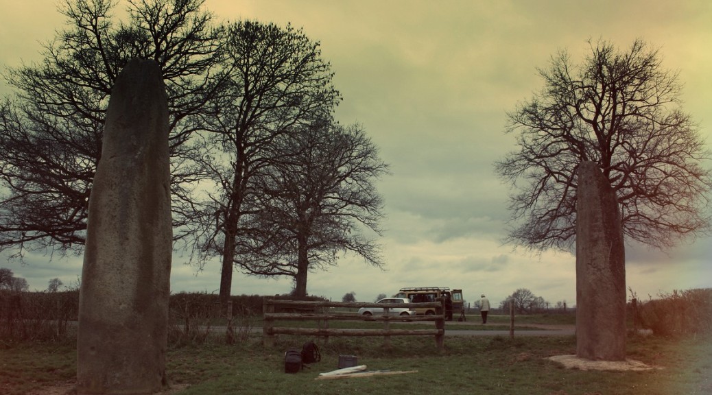
This series of images will show how to produce an interactive immersive file from photographs.
Everything has been done with Photoscan and exported to Unity through 3DsMax.
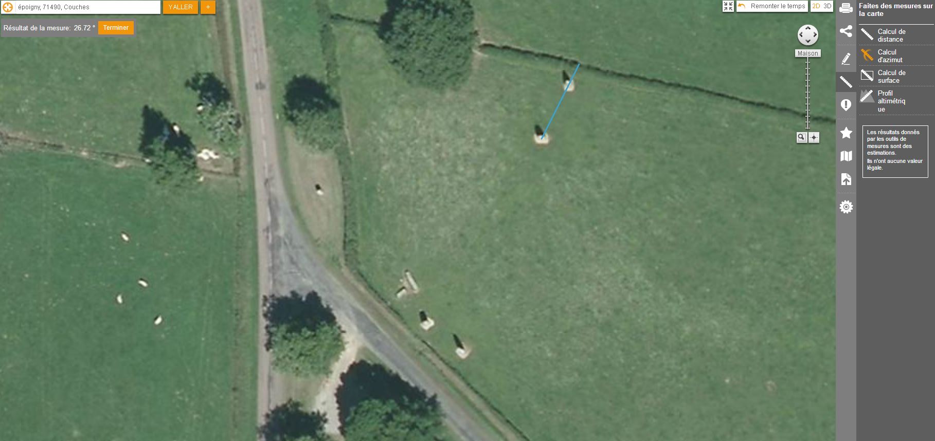 It is possible on the IGN web site to measure distances between objects. It will be necessary to check distances from the 3D model and those taken on site.
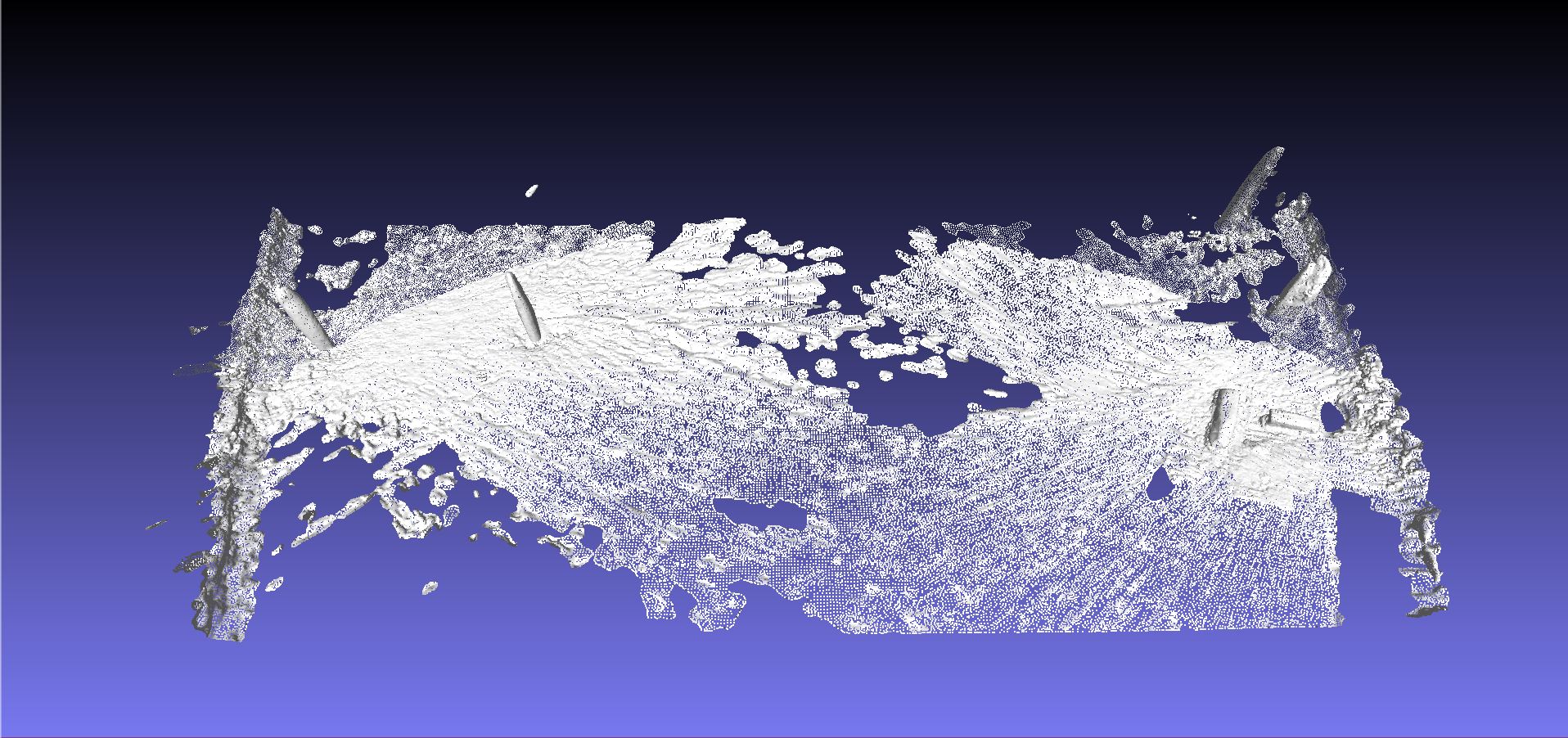
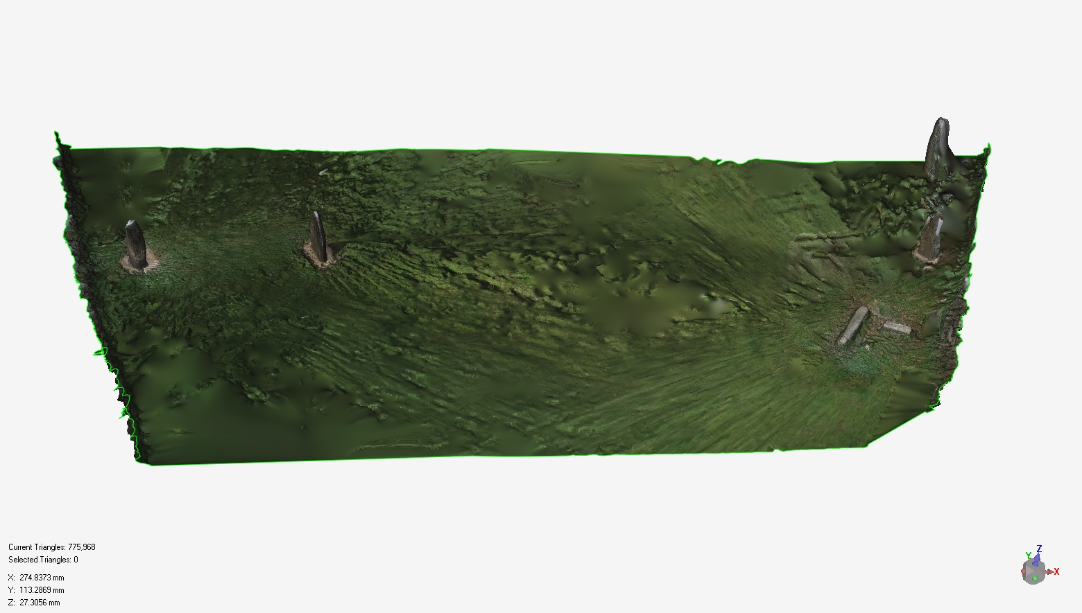
 As the ground offers no specific reliefs or details, some parts are missing. But all 3D elements (menhirs) are there at correct position.
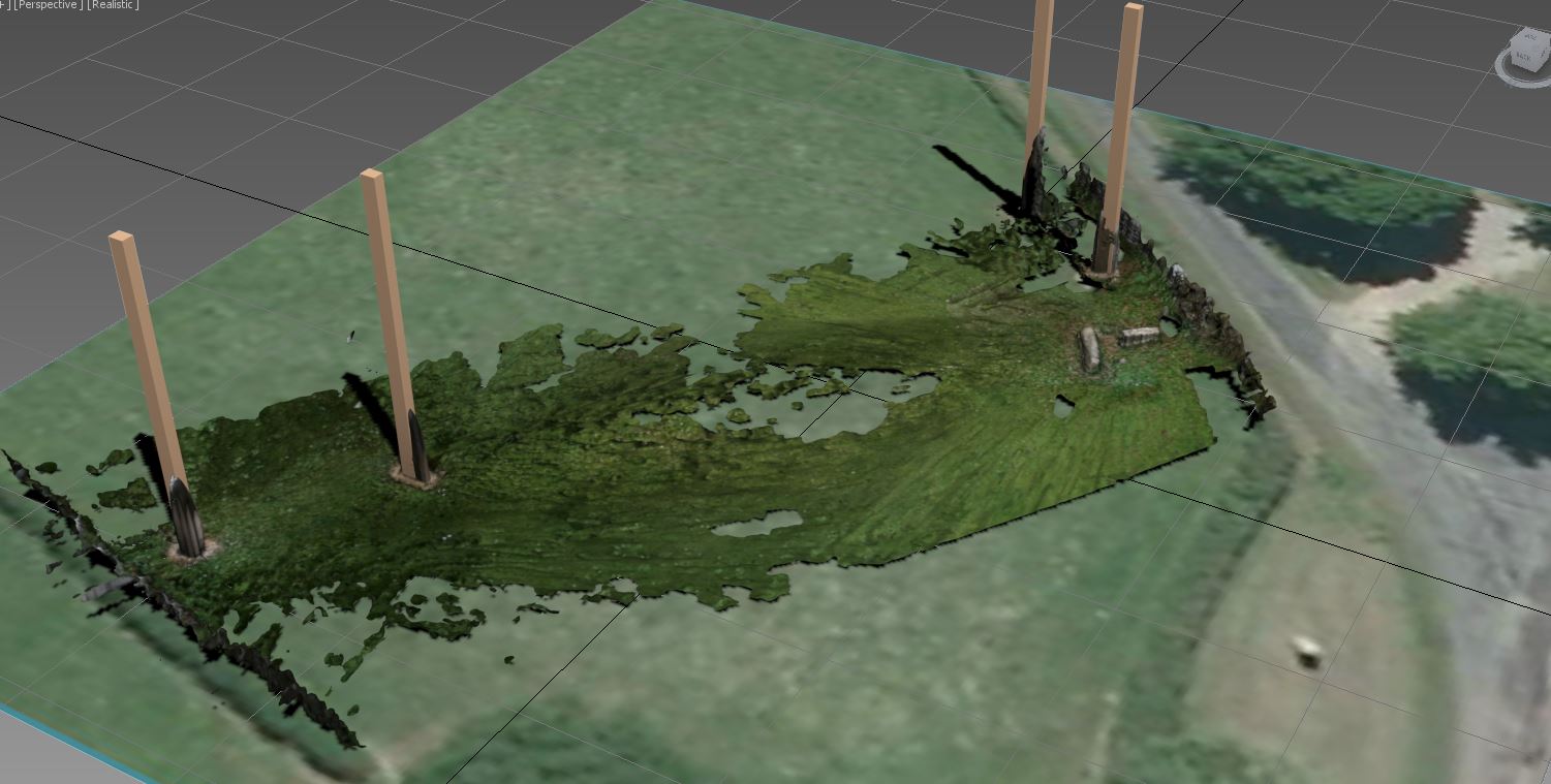
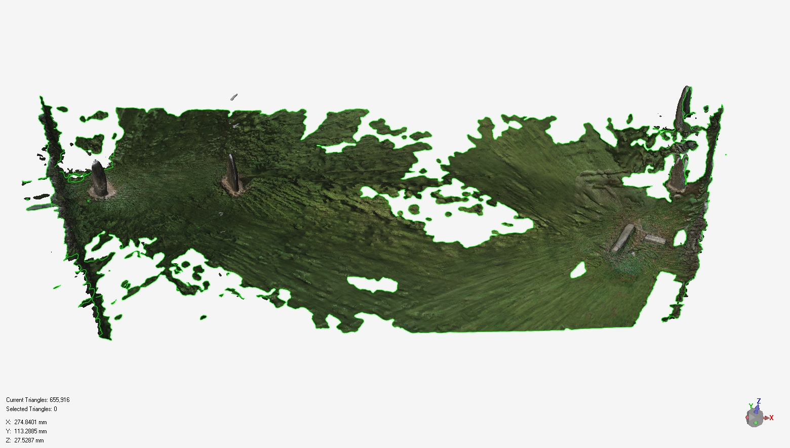
The aerial photograph is put underneath the 3D model in order to verify proportions.
 The ground can be « repaired » by filling the holes.
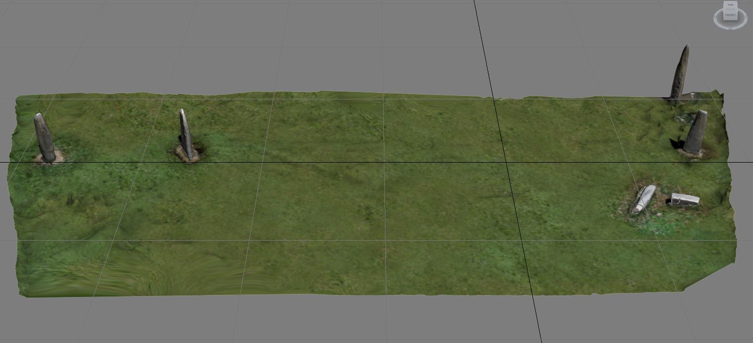 The texture of the ground can be enhanced with more regularities just by sampling details from other views.
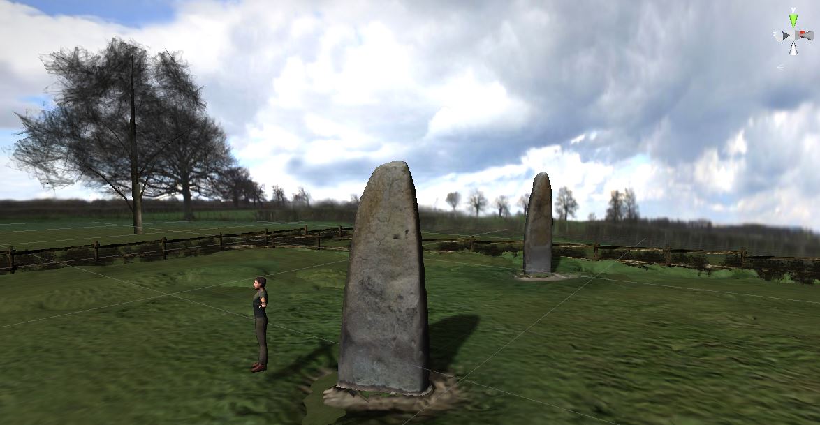
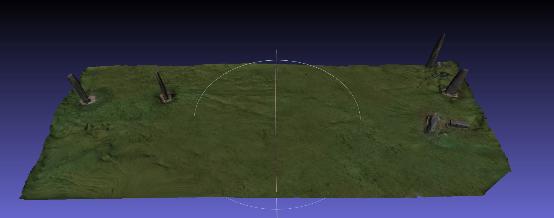 The first version of the model is done.
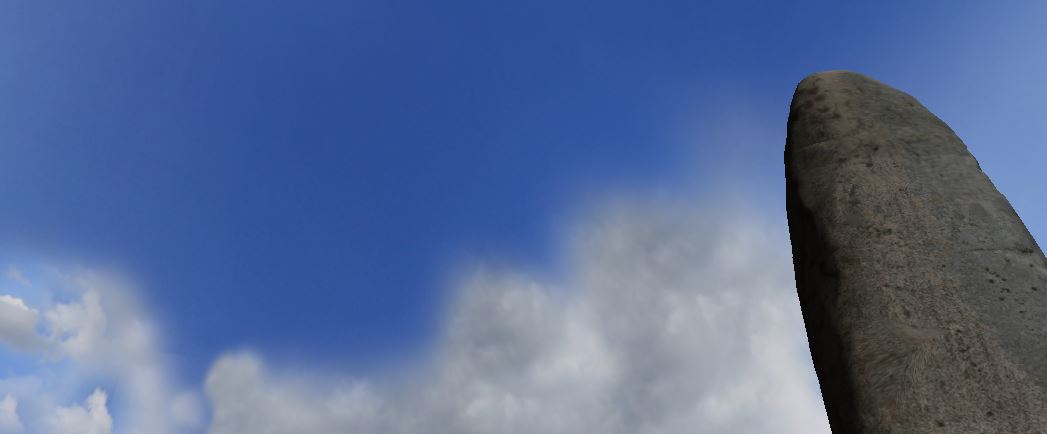
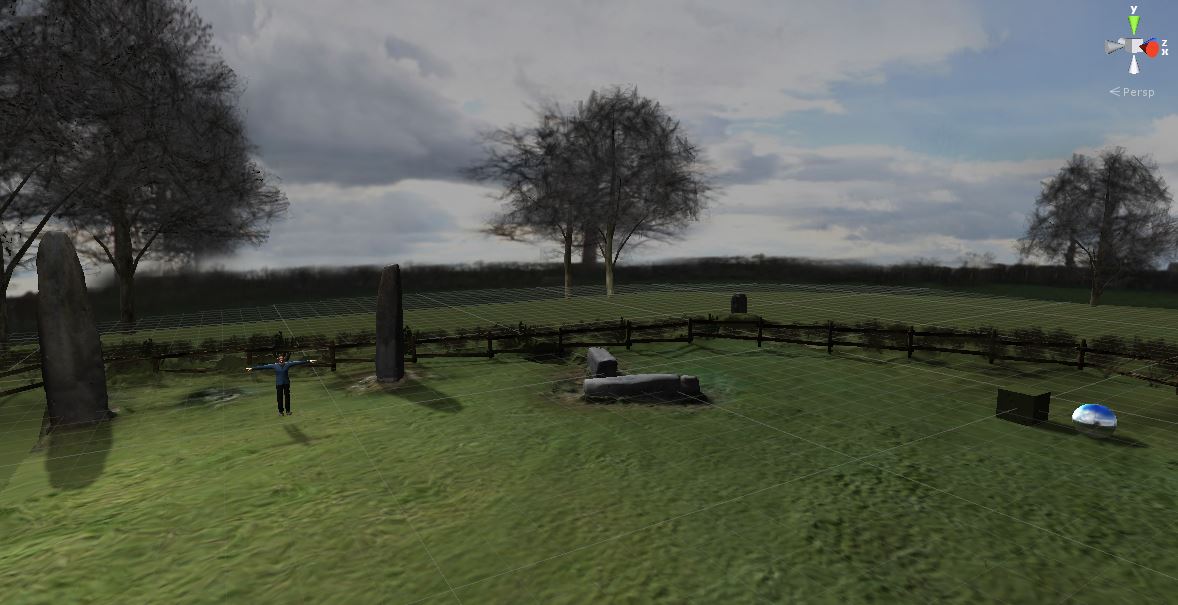
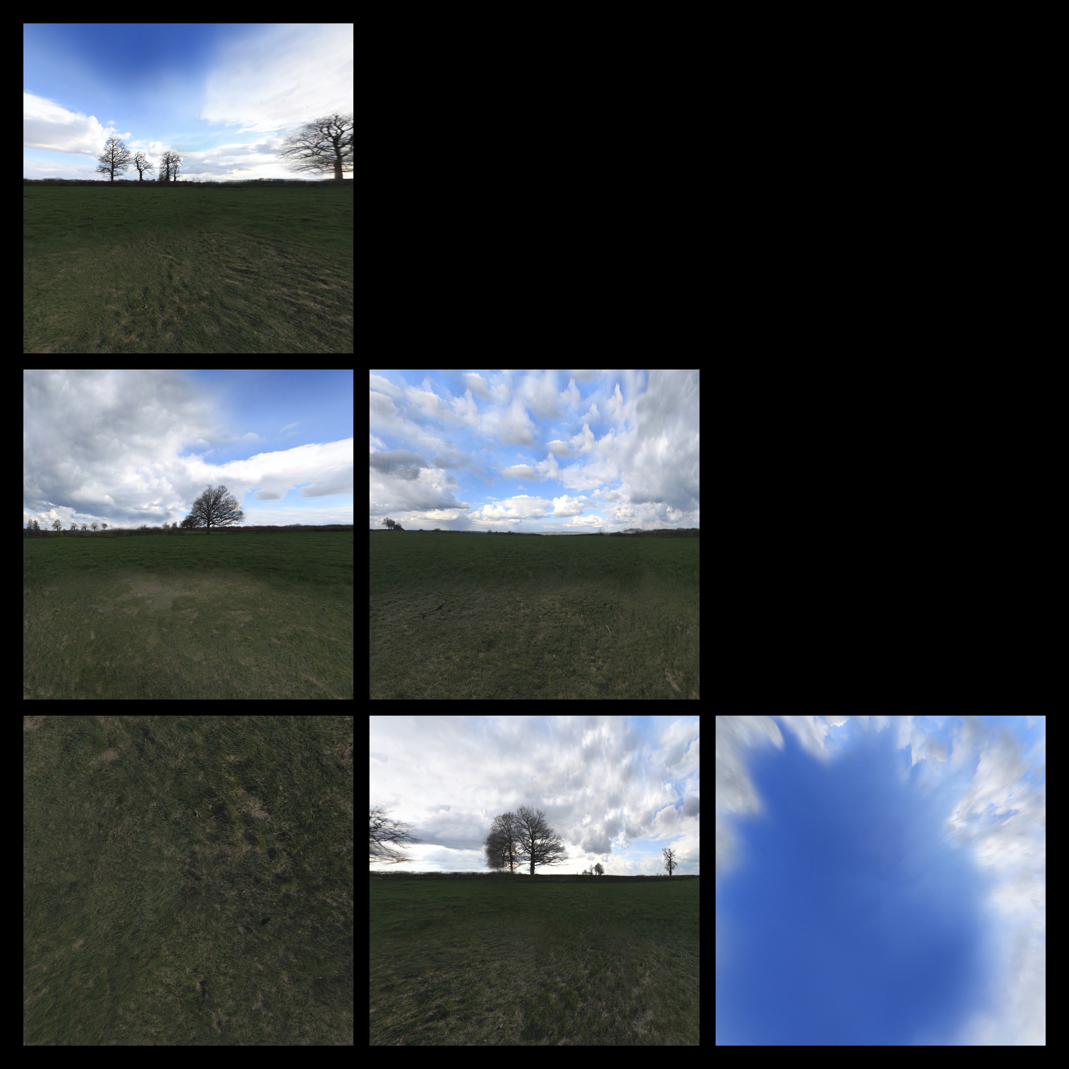 The background and context is taken from a panoramic view that has been recalculated to get a 6 views cube.
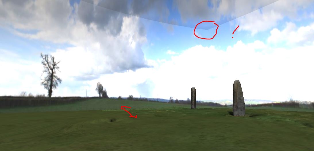
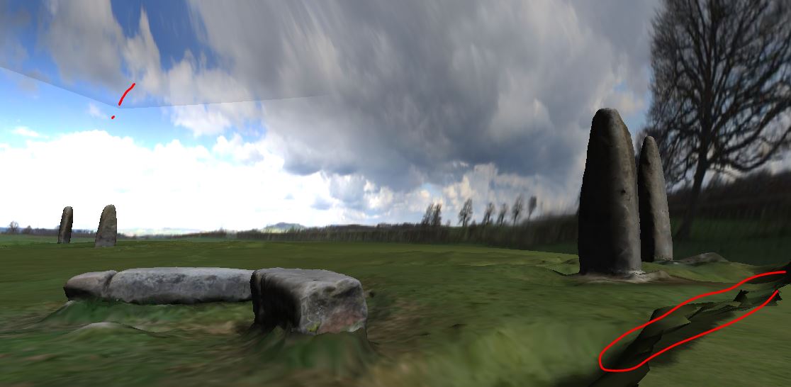 Some adjustments are needed !
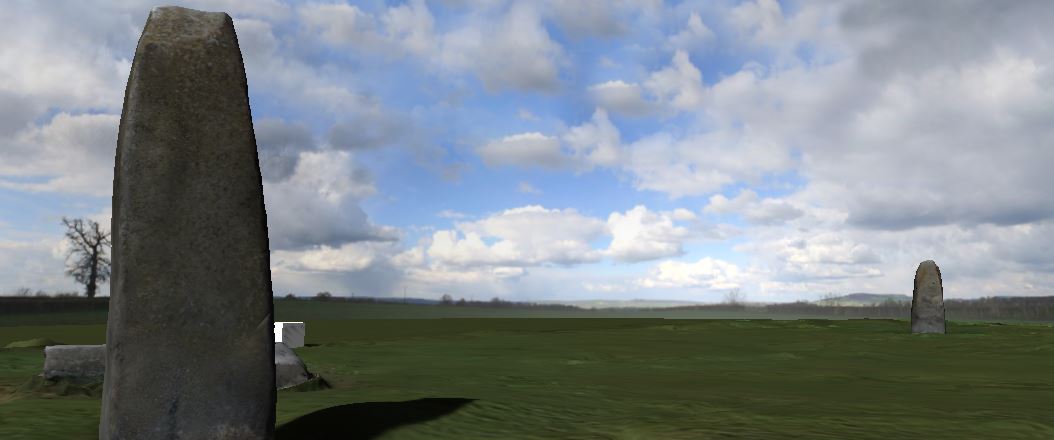
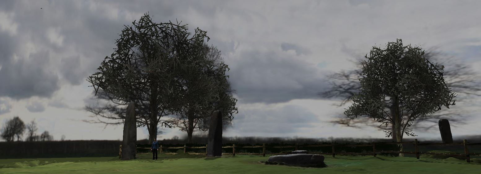
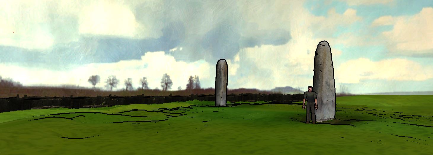
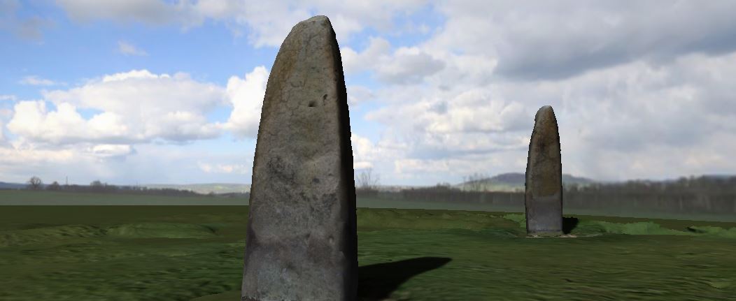 The 2D background now fits perfectly with 3D model.
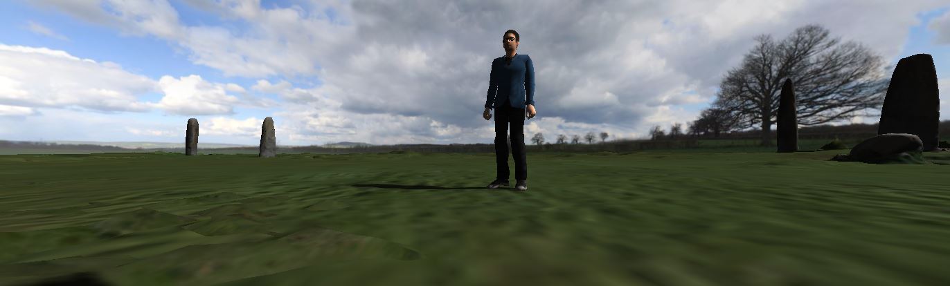
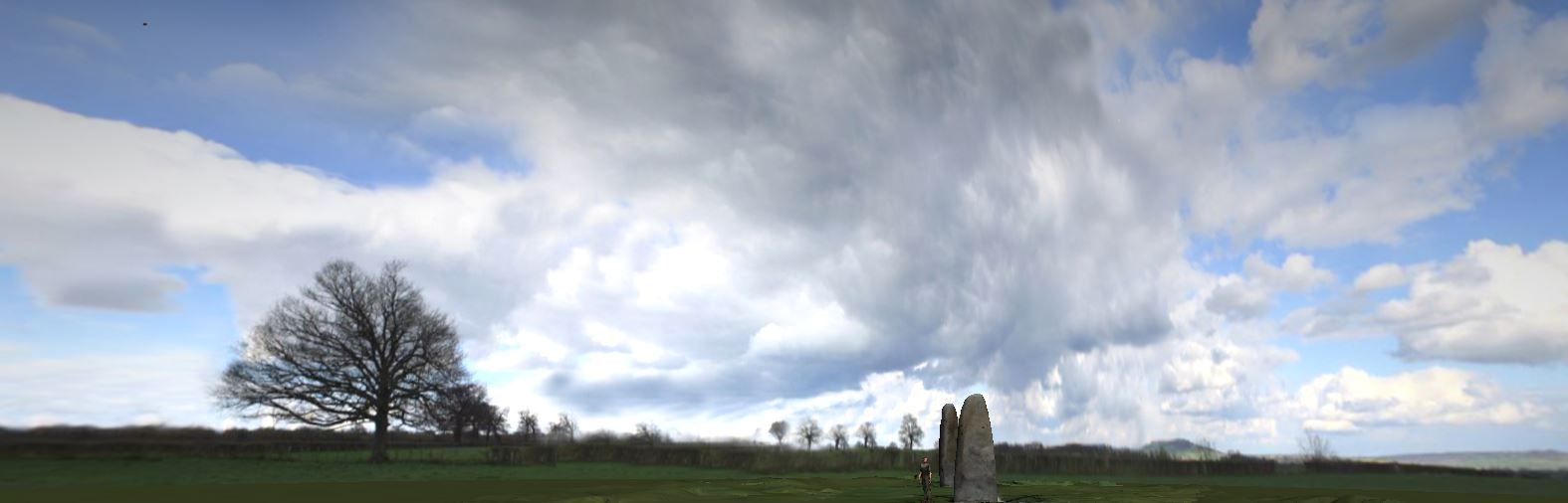
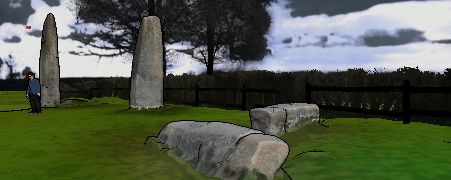
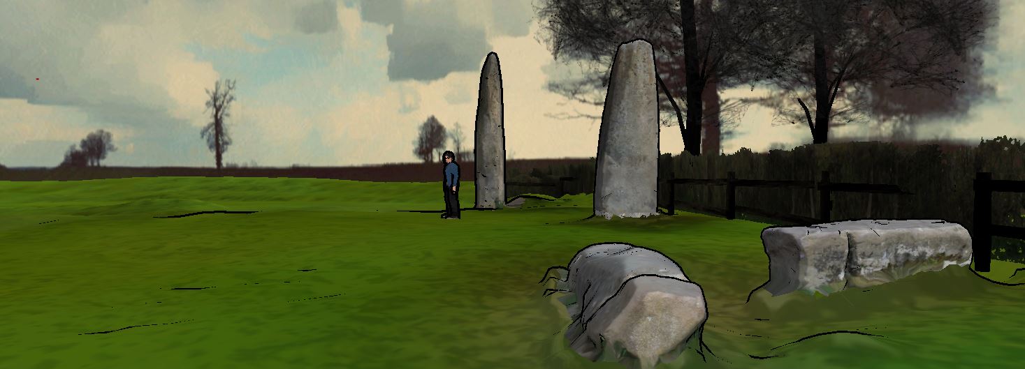
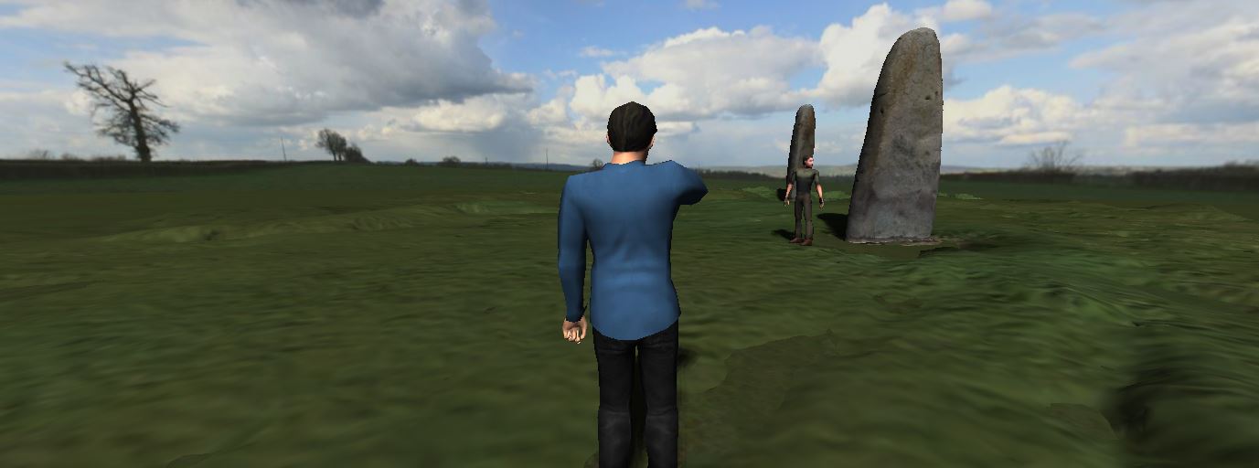 Characters are added to indicate the scale.
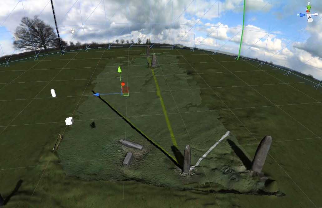
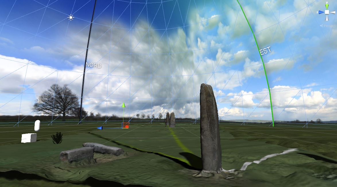
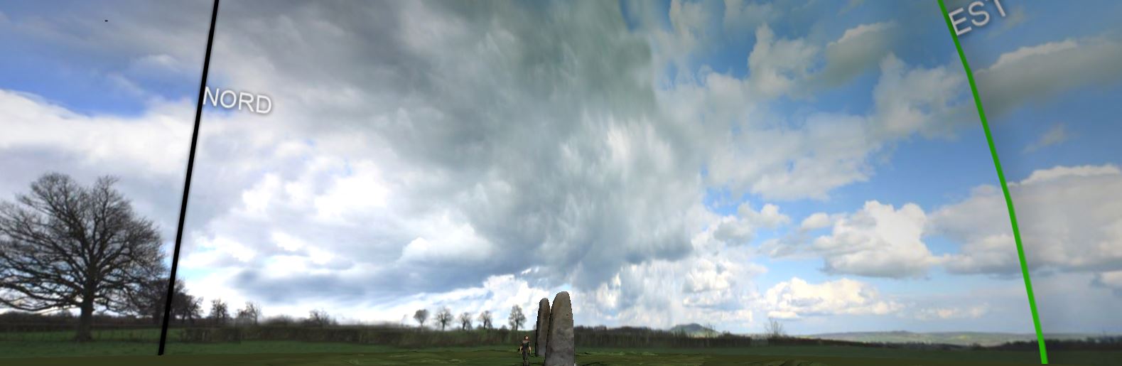
Important information are added within the texture such as orientation and alignments. The user can click on a specific object to see the lines indicating cardinal.
 The scene in for now set for one day. It should evolve to be seen any day of the year.
This day is winter time, so it’s a bit sad.
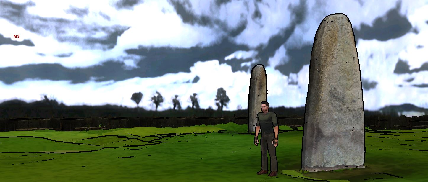
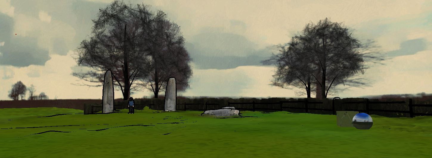
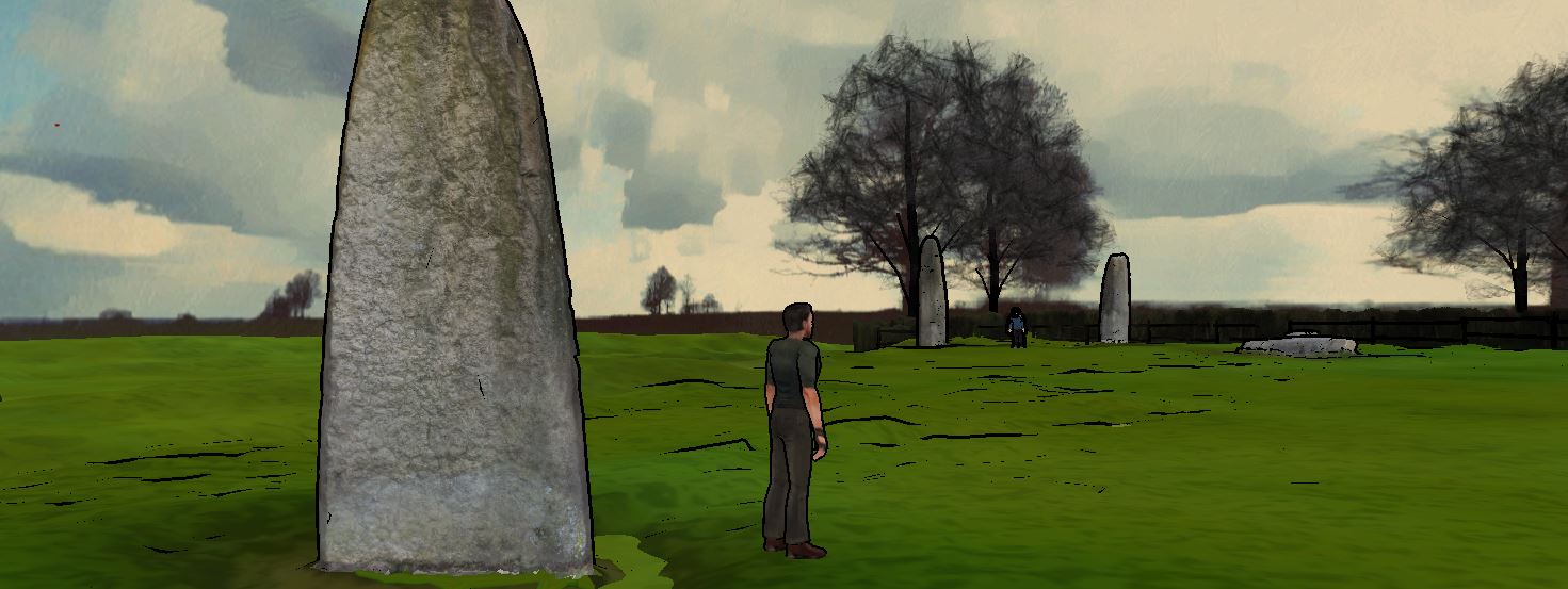
First version of the cartoon style rendering offers a great way to see the model, allowing details and precision as well as a personal vision.
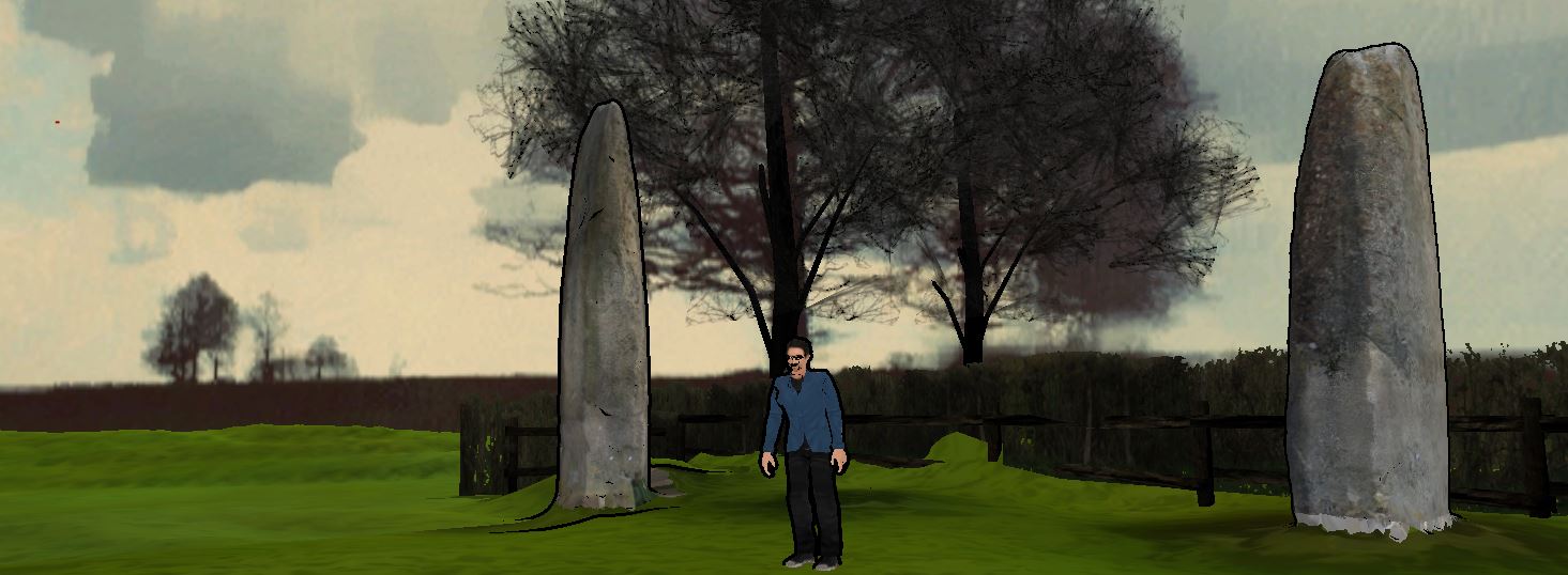
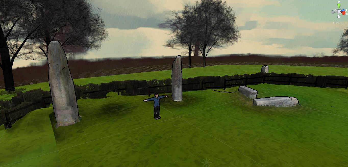 Second version, with a softer look.