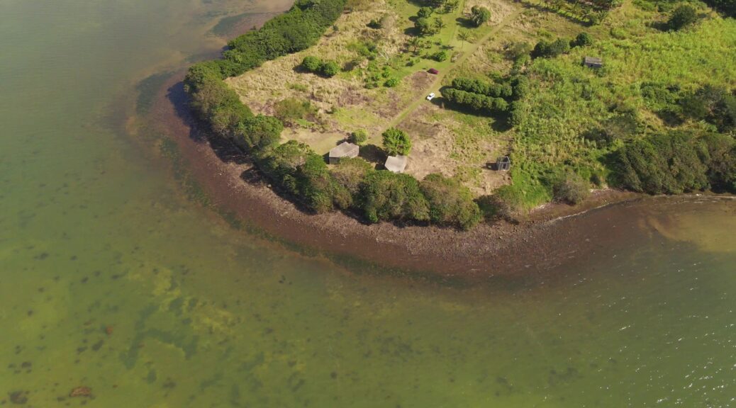
Archives par mot-clé : survey

Protogrammetry From Drone Survey

Goal

When information about a site is not available, it is interesting to make a survey by drone to realize a photogrammetry. The photogrammetry will allow to build a 3D model and to extract the necessary information to understand the site.

The preparation of the drone flight is essential. The flight must be able to cover the entire site from different angles. Otherwise, there would be deformations or missing information.

The example presented here presents the workflow for creating a 3D model from an aerial film shot with a drone and the processing of the data for further work.

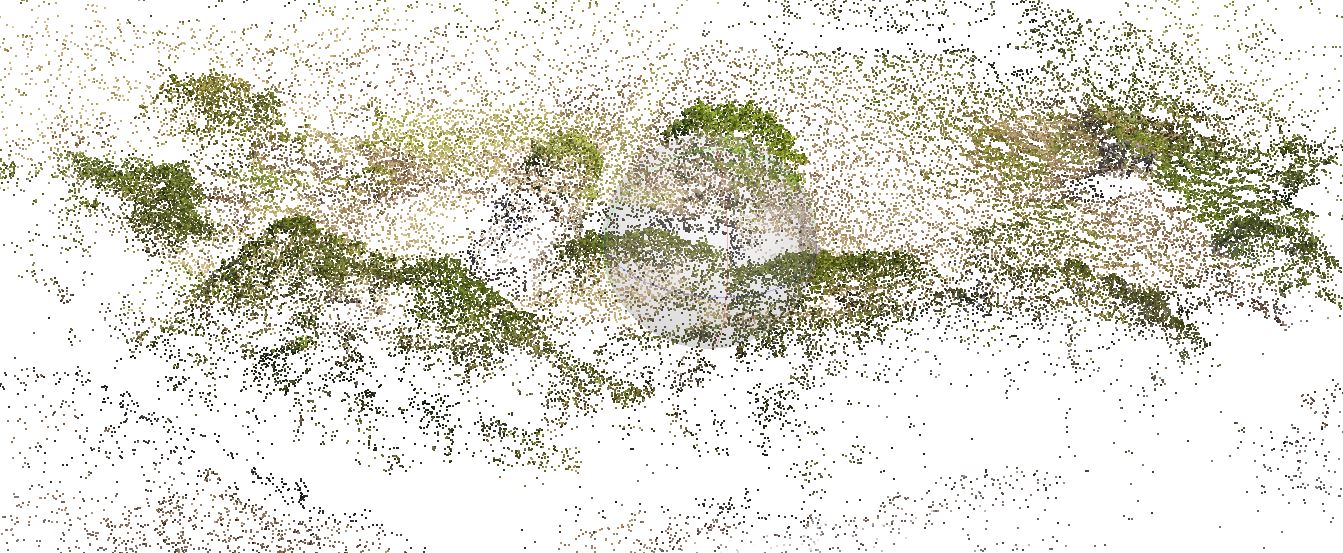
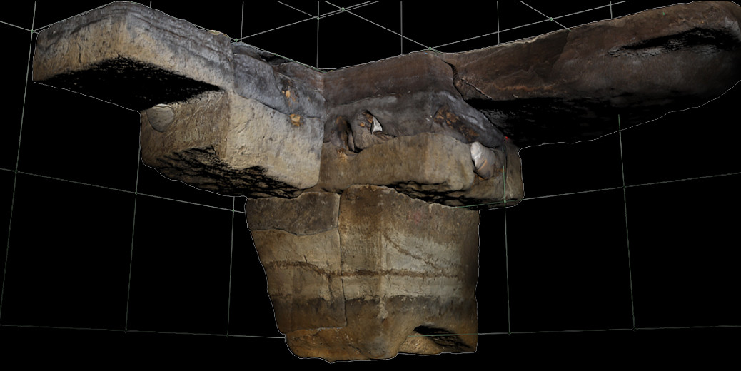
Here, the drone was forced to work in sections. Here are the different views. The work to come will be to assemble the 3D file fragments. Continuer la lecture de Protogrammetry From Drone Survey

Photogrammetry : boat surveys

Photogrammetric surveying of ships is a complex exercise due to the nature of the objects to be recorded. The advantage of a complete survey, as opposed to a half-hull survey, is that it allows the deformations of the structures to be identified, evaluated and diagnosed.

In the example below, the demonstration is made on a model. The principles and difficulties are identical to a 1:1 scale model, but with much better accessibility. For examples of real boats, see the following pages

http://www.keris-studio.fr/blog/?p=11270. Et http://www.keris-studio.fr/blog/?page_id=2438

Continuer la lecture de Photogrammetry : boat surveys

3D – Photogrammetry and archaeological survey

Photogrammetry helps the archeologist to have a accurate orthophotos where it can be very hard to install a camera.  But instead of just getting the final result, it could also be interresting to record each step not only for visualisation but also for calculation.

clip_image002[6] Continuer la lecture de 3D – Photogrammetry and archaeological survey