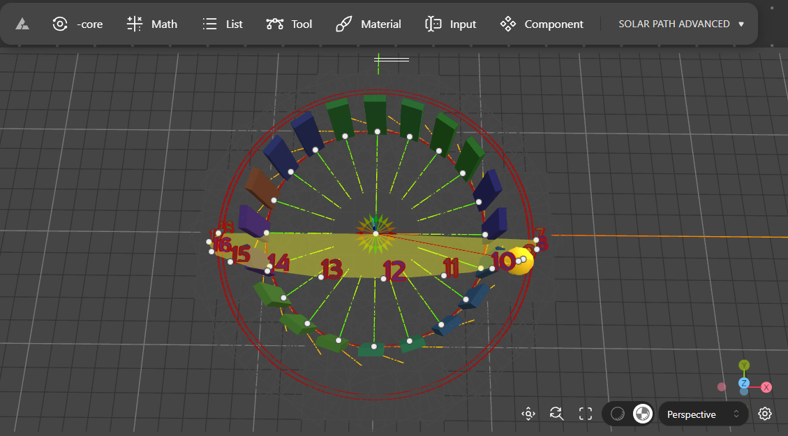
This tutorial aims to facilitate the creation of a solar path, ensuring accurate determination of the sun’s position, orientation, and altitude. This precision is invaluable for architectural design, enabling architects to optimize building orientations for solar efficiency. Additionally, it serves as a tool for verifying the solar orientation of heritage sites.
This approach enables the precise tracing of solar paths and orientations throughout history. Various software tools and methods exist to determine the position of the sun at any point in the past, making it particularly valuable for archeoastronomy purposes.
We will use Beegraphy, the online Grasshopper for that.
Is this tutorial we will learn how to
Retrieve environmental data
Create a list and convert string to text, degrees to radians
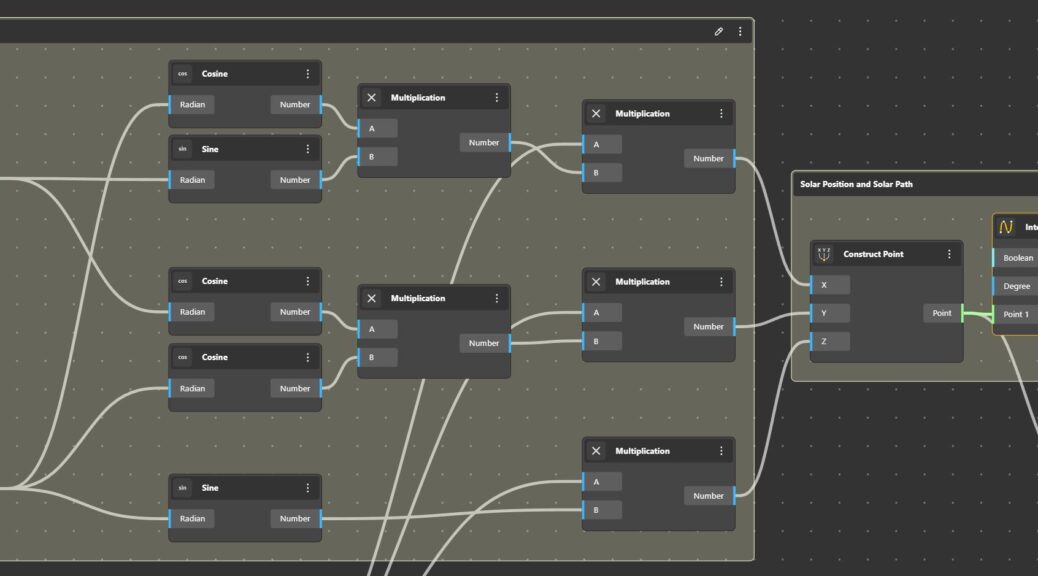
Convert polar coordinates to Cartesian coordinates
Construct la curve by interpolating points
Create and place a text
Create a sequence to have a print a series of numbers at a specific location
The first version of Abita+ dates back to 2001. Concepts are, in the computer world as in other domains, concepts that are discovered and forgotten, then rediscovered in the belief that they are innovative or original. At the dawn of the 20th century, to explore architectural solutions, there were three ways. The first was to mimic analogical tools and methods. This is the virtual drawing board such as AutoCad for example. The intellectual process is the same as for hand drawing, it is only the ease of corrections, re- editing and duplication that make it a very productive tool. The second path, less known and somewhat forgotten, is that of declarative modeling. In this method, the idea is to start with the expected result and work backwards through the inductive chain.
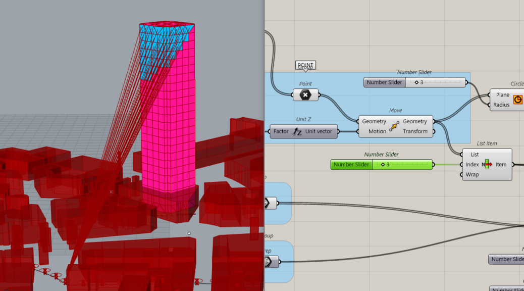
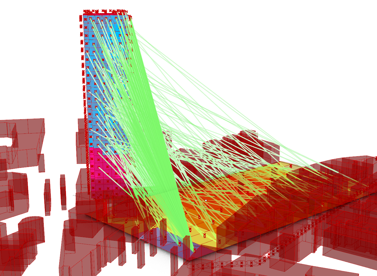
In this tutorial, the idea is to explore the potential of Isovist for urban analysis. Isovist is the surface or volume of space visible from a specific point. This concept has been proposed by Clifford Tandy in 1967 and then redefined by Michael Benedikt. Isovists are very useful to quantify the perception of urban spaces such as opening, closeness, and also useful to define urban envelopes. Isovists help to with non-intuitive solutions for complex problems.
Laurent Lescop – 3D Viz – Parametric Design – Immersion – AI // Recherches et réalisations de Laurent Lescop en visualisation 3D, conception paramétrique, immersion et IA appliquées à l'architecture.