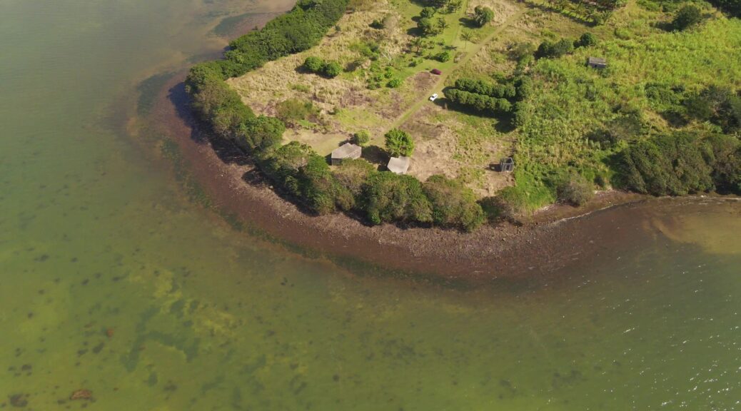
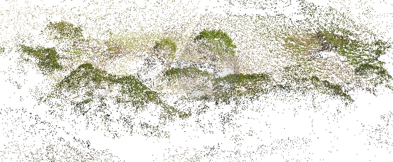
When information about a site is not available, it is interesting to make a survey by drone to realize a photogrammetry. The photogrammetry will allow to build a 3D model and to extract the necessary information to understand the site.
The preparation of the drone flight is essential. The flight must be able to cover the entire site from different angles. Otherwise, there would be deformations or missing information.
The example presented here presents the workflow for creating a 3D model from an aerial film shot with a drone and the processing of the data for further work.
VOLUME 1 DE LA MONOGRAPHIE DE LA GROTTE CHAUVET-PONT D’ARC
Ce premier volume de la Monographie de la grotte Chauvet-Pont d’Arc présente l’inventaire raisonné des informations contenues dans la grotte sous la forme d’un atlas. Ce type d’ouvrage peut paraître inhabituel pour présenter un site orné. Néanmoins, les dimensions de la grotte, la morphologie des salles et des galeries qui compartimentent son espace ainsi que l’inscription des œuvres pariétales dans le paysage souterrain sont autant d’invitations à penser, travailler et structurer l’ensemble des connaissances par une approche cartographique.
Laurent Lescop – 3D Viz – Parametric Design – Immersion – AI // Recherches et réalisations de Laurent Lescop en visualisation 3D, conception paramétrique, immersion et IA appliquées à l'architecture.