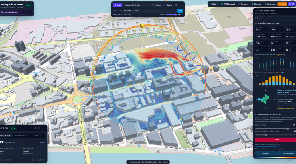
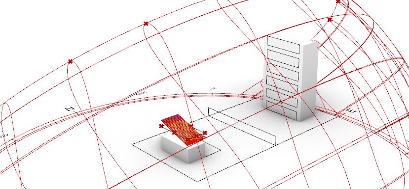
L’Atlas climatique de l’Île de Nantes est une application cartographique 3D qui aide à comprendre le microclimat d’un quartier en phase d’esquisse : course du soleil, ombres portées, ensoleillement, écoulement du vent entre les bâtiments et confort thermique des espaces publics.
Elle fonctionne dans votre navigateur, à partir de données ouvertes :
bâtiments 3D d’OpenStreetMap (emprises et hauteurs) lus dans le fond de carte ;
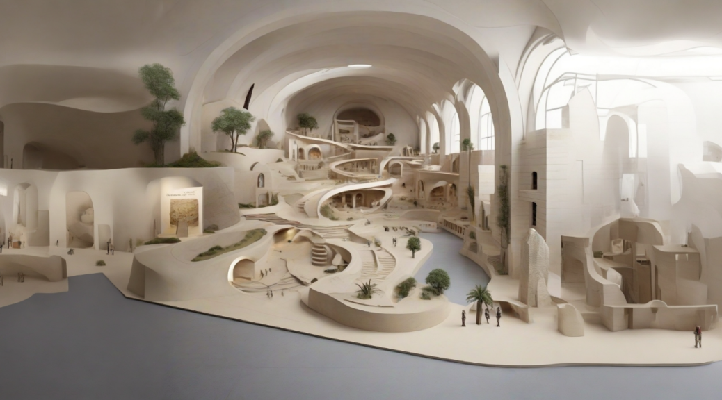
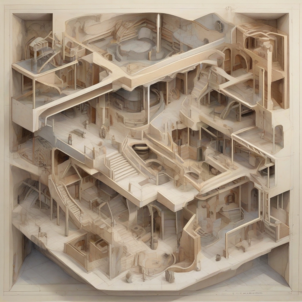
This tutorial aims to establish a tailored workflow that maximizes the potential of AI as a collaborative creative partner. It will cover two distinct topics. Firstly, we’ll explore designing while considering contextual factors, employing Autodesk’s Forma. Then, in the subsequent section, we’ll delve into utilizing Text to Image and Image to 3D techniques to cultivate aesthetic concepts.
Autodesk’s Forma
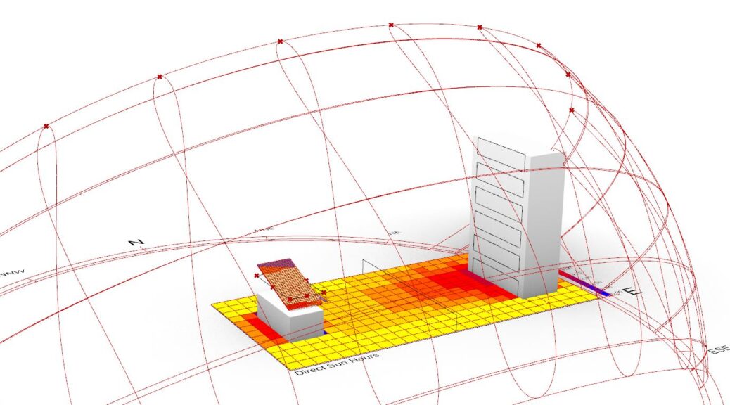
Autodesk Forma (formerly Spacemaker) helps planning and design teams deliver projects digitally from day one. Use conceptual design capabilities, predictive analytics, and automations to make solid, sustainable, foundations for your projects. (https://www.autodesk.com/products/forma/) Forma enables to run Daylight potential analysis | Area analysis | Microclimate analysis | Noise analysis | Rapid Operational Energy analysis | Sun hours analysis | Wind analysis. (https://damassets.autodesk.net/content/dam/autodesk/www/products/autodesk-forma/fy24/overview/forma-sustainability-10-03.pdf) Continuer la lecture de Autodesk’s FORMA, Integrated context analysis tool→
Laurent Lescop – 3D Viz – Parametric Design – Immersion – AI // Recherches et réalisations de Laurent Lescop en visualisation 3D, conception paramétrique, immersion et IA appliquées à l'architecture.