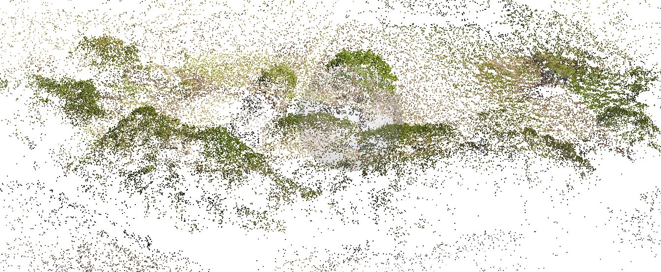
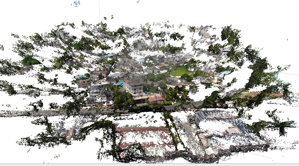
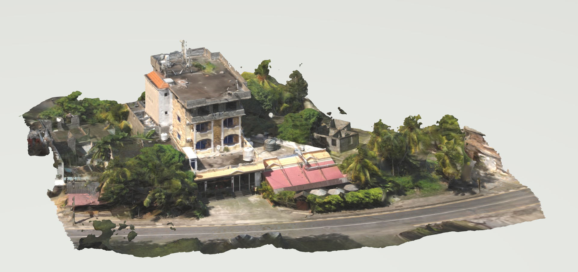
When information about a site is not available, it is interesting to make a survey by drone to realize a photogrammetry. The photogrammetry will allow to build a 3D model and to extract the necessary information to understand the site.
The preparation of the drone flight is essential. The flight must be able to cover the entire site from different angles. Otherwise, there would be deformations or missing information.
The example presented here presents the workflow for creating a 3D model from an aerial film shot with a drone and the processing of the data for further work.
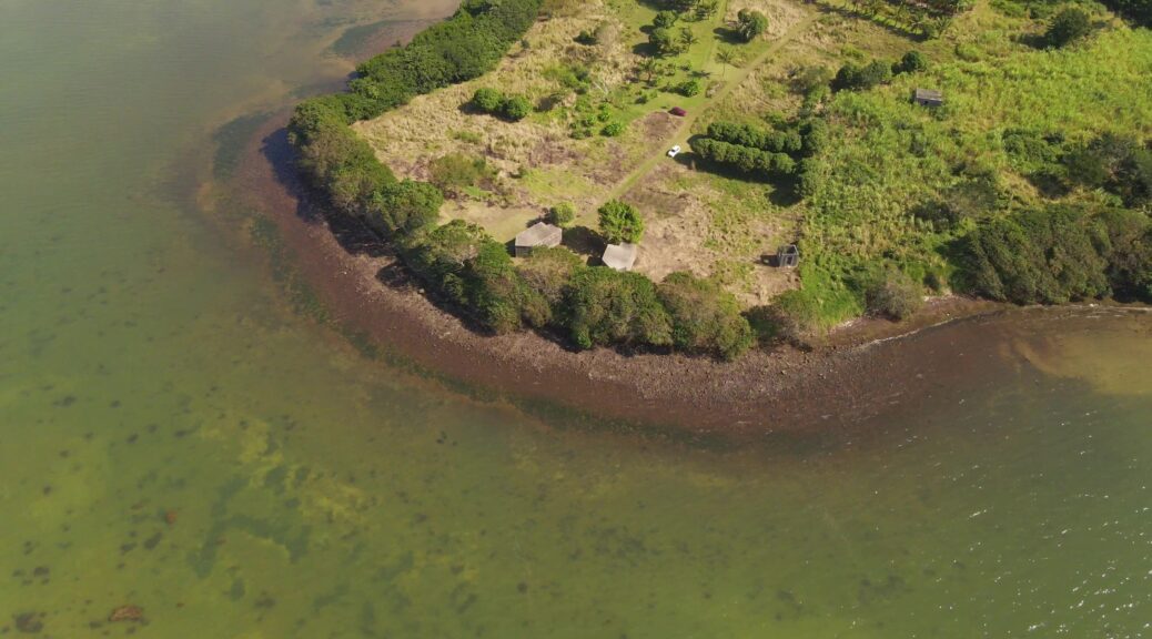
It is not always easy to obtain 3D data on some of the city’s sites. Furthermore, these sites can be extremely difficult to reach. If overflight is permitted in the area, a drone survey is an interesting solution.
In this case, we are in the Grand Bay area of Mauritius. Because of the dense urbanization and the importance of vegetation cover, surveying from the ground is nearly impossible. Continuer la lecture de Photogrammetry from Drone→
Inspired by the Milwaukee Art Museum Grasshopper reconstruction
The Quadracci Pavilion is the iconic sculptural addition to the Milwaukee Art Museum designed by the Spanish architect Santiago Calatrava. Highlights of the building, completed in 2001, are the magnificent cathedral-like space of Windhover Hall, with a vaulted a 90-foot-high glass ceiling; the Burke Brise Soleil, a moveable sunscreen with a 217-foot wingspan that unfolds and folds twice daily; and the Reiman Bridge, a pedestrian suspension bridge that connects the Museum to the city. (source : https://mam.org/info/architecture.php) Continuer la lecture de Milwaukee Art Museum Grasshopper reconstruction→
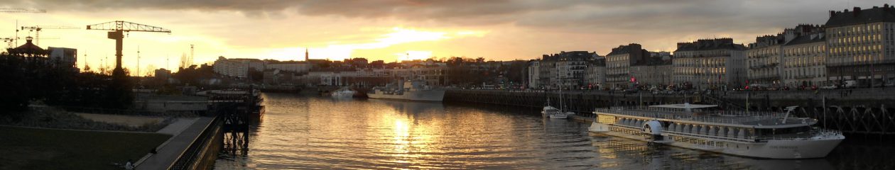
Laurent Lescop – 3D Viz – Parametric Design – Immersion – AI